English
 Español
 Deutsch
 日本語
日本語 Polska
 Français
 中國
中國 한국의
한국의 Українська
 Italiano
 Nederlands
 Türkçe
 Português
 Bahasa Indonesia
 Русский
 हिंदी
हिंदी


THANKS

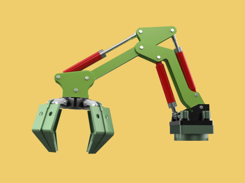
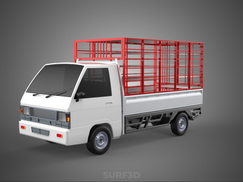
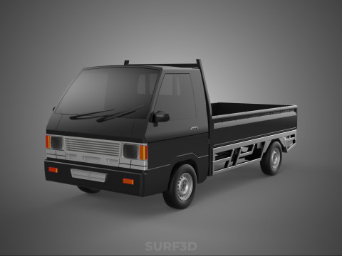
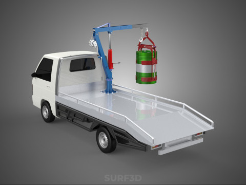
The model contains the most popular formats:
1. 3DS MAX: *.max
2. Blender: *.blend
3. Rhinoceros: *.3dm
4. SketchUp: *.skp
5. Wavefront OBJ: *.obj *.mtl (Multi Format)
6. FBX: *.fbx (Multi Format)
7. STEP: *.step *.stp (NURBS)
8. IGES: *.iges *.igs (NURBS)
9. ACIS: *.sat (NURBS)
10. 3DS MAX all ver.: *.3ds (Multi Format)
11. Stereolithography: *.stl
12. AutoCAD: *.dwg
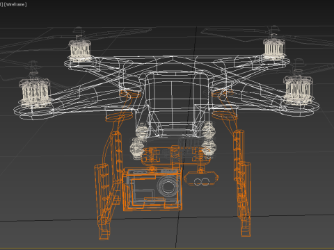
- Each file was checked for opening and full content by the model.
- The 3D model was created on real base. It’s created accurately, in real units of measurement, qualitatively and maximally close to the original.
- Renders Are made in Luxion Keyshot
- “WE PROVIDE 3D MODEL CHEAP PRICE BUT WITH GOOD QUALITY”
- If you need any other formats we are more than happy to make them for you. Contact me for any question :)
Sincerely Your, SURF3D
MORE INFORMATION ABOUT 3D MODELS :
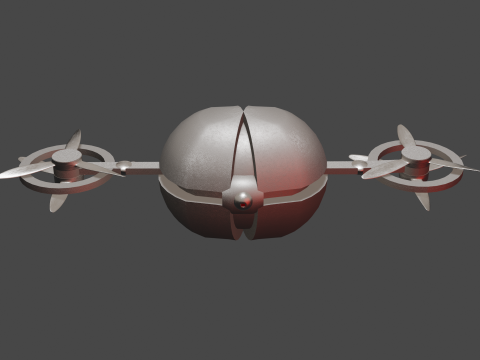
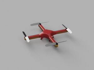
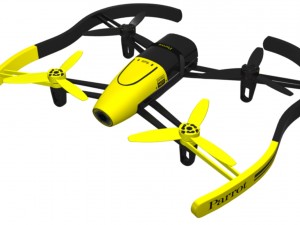
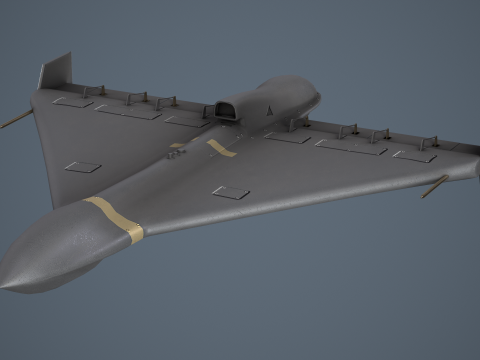
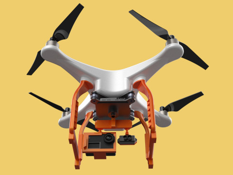
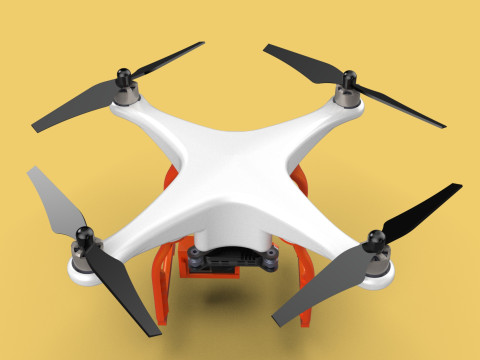
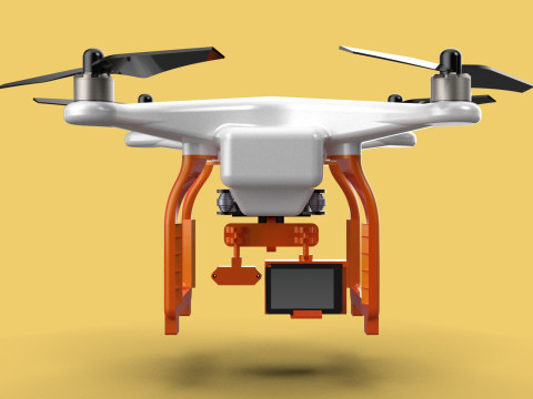
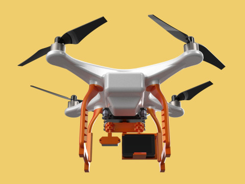
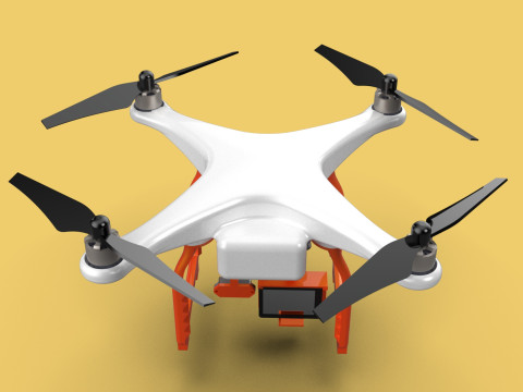
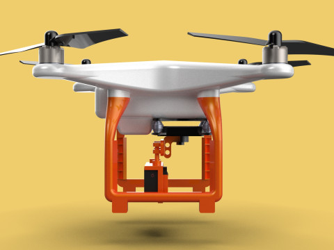
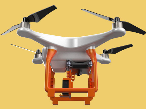
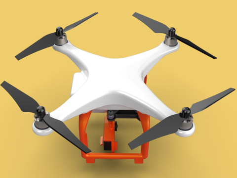
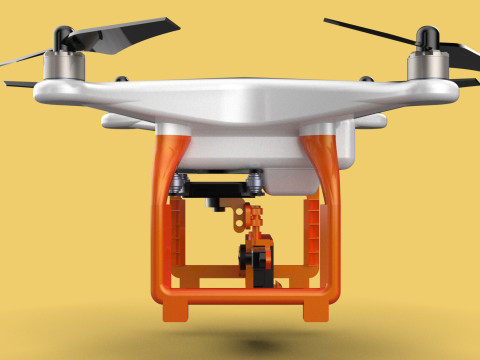
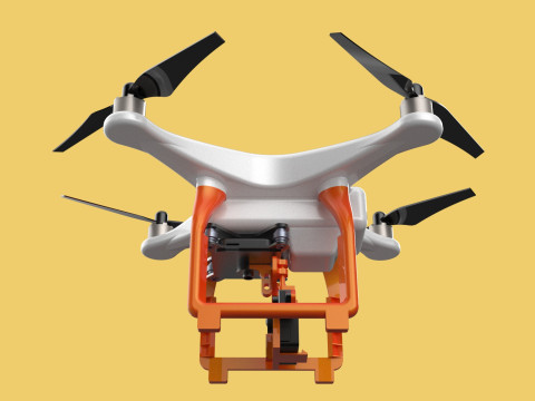
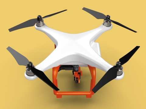
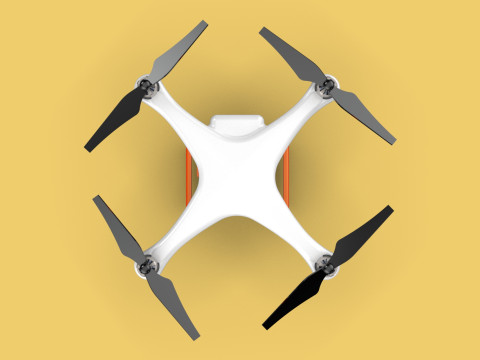
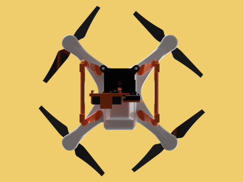
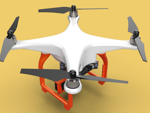
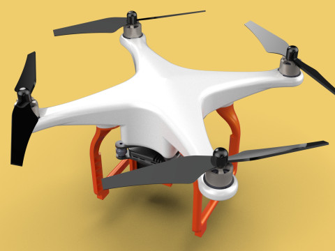
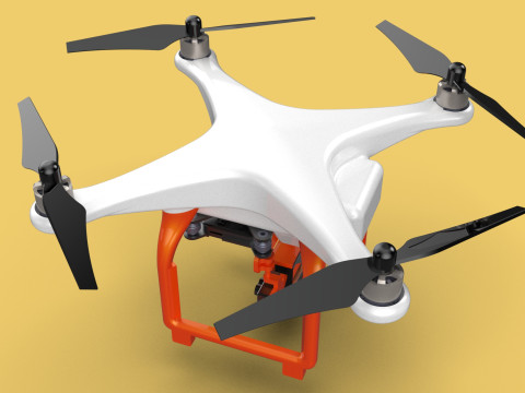
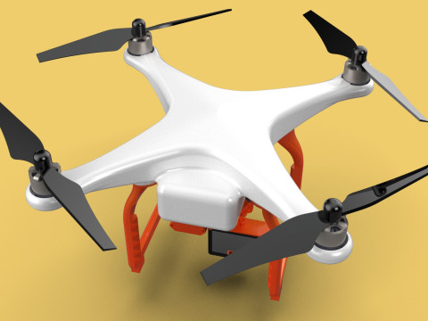
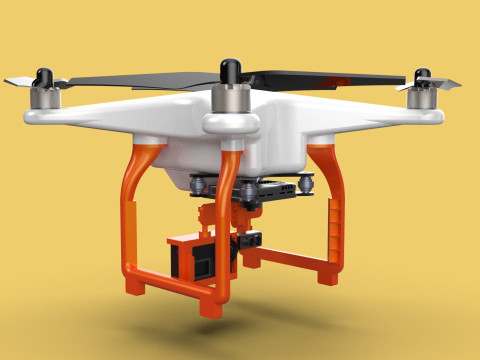
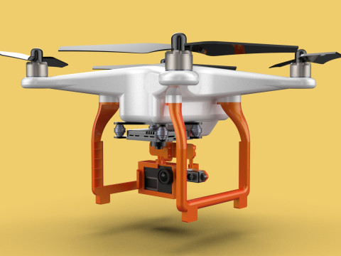
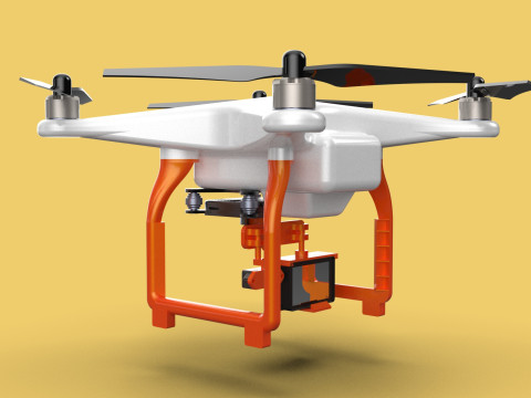
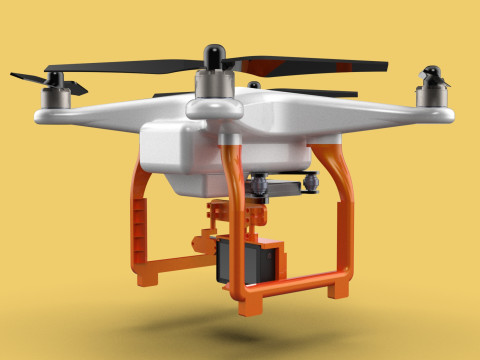
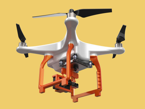
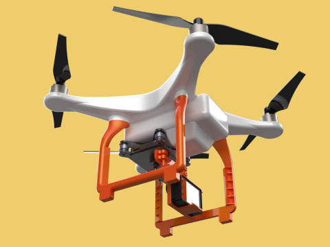
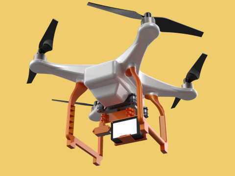
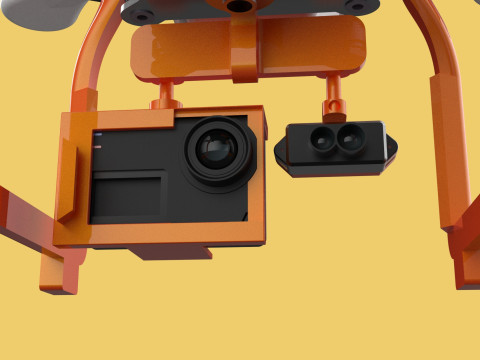
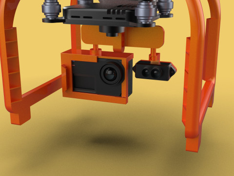
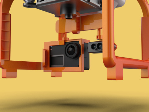
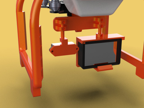
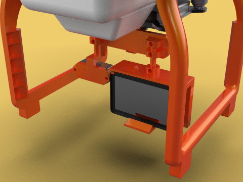
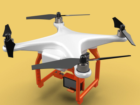
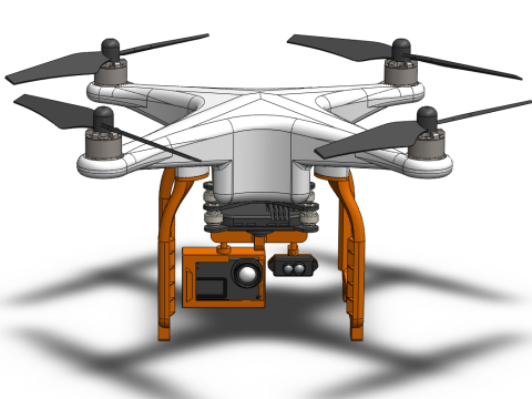
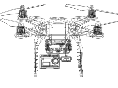
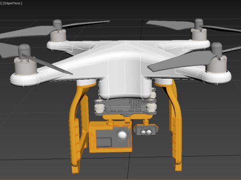
UAV LiDAR Drone Quadcopter Scanner Surveying Exploring Mapping
This describes a sophisticated system utilizing a specialized drone for data acquisition and analysis. Let's break it down:
UAV (Unmanned Aerial Vehicle) & Drone: These terms are often used interchangeably to refer to an aircraft without a human pilot on board. In this context, it specifically refers to a drone.
LiDAR (Light Detection and Ranging): A remote sensing method that uses light in the form of a pulsed laser to measure distances to Earth. The system emits short pulses of laser light, and by measuring the time it takes for the light to return, it can accurately determine the distance to objects on the ground.
Quadcopter: A type of drone with four rotors for flight stability and maneuverability. This configuration is well-suited for aerial data collection due to its agility and stability.
Scanner: The LiDAR system itself, which emits and receives laser pulses to generate 3D point cloud data.
Surveying: The process of systematically gathering data about the Earth's surface, including its shape, dimensions, and features.
Exploring: Investigating and examining an area or subject in detail.
Mapping: Creating visual representations of a particular area, often including geographical, political, or other related information.
Key Characteristics:
High Accuracy: LiDAR technology provides highly accurate and precise measurements of terrain, vegetation, and other features.
3D Data Capture: Generates detailed 3D point cloud data that can be used to create accurate 3D models of the surveyed area.
Versatility: Capable of mapping a wide range of environments, including urban areas, forests, coastal zones, and even underwater.
Efficiency: Enables rapid data collection over large areas, significantly improving the efficiency of surveying and mapping operations.
Data-Driven Insights: Provides valuable data for various applications, such as urban planning, infrastructure development, environmental monitoring, and disaster response.
Applications:
Topographic Mapping: Creating detailed topographic maps with high accuracy and resolution.
Urban Planning: Assessing urban growth, identifying infrastructure needs, and developing sustainable urban plans.
Environmental Monitoring: Monitoring deforestation, coastal erosion, and other environmental changes.
Archaeological Exploration: Discovering and documenting archaeological sites.
Precision Agriculture: Optimizing agricultural practices by mapping and analyzing field conditions.
Disaster Response: Assessing damage from natural disasters and supporting relief efforts.
This system represents a cutting-edge technology with significant potential for revolutionizing various fields that rely on accurate and detailed spatial information.
| Цена | Покупатель | Цена | Дата | |
|---|---|---|---|---|
Позитивный | Fantastic! It looked so good. It helped me a lot for my project.
THANKS |  MomaKe MomaKe | $24.00 | 2025-10-13 |