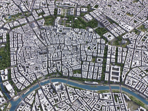
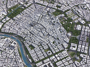
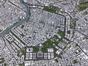
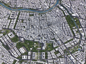
Vienna - 3D City Model 低聚 3D 模型

$
399.00 USD
你有 $0.00 学分. 买学分
- 可用的格式: Autodesk 3DS MAX (.max) 55.41 MB
- 多边形:1
- 顶点:1
- 动画:
- 纹理:
- 操纵:No
- 材料:
- 低聚:
- 集合:No
- UVW 贴图:
- 使用插件:No
- 打印准备:No
- 3D扫描:No
- 成人内容:No
- PBR:
- 人工智能培训:
- 几何:Polygonal
- 包装 UVs:No
- 日期:1432
- 日期: 2024-01-23
- 项目 ID:488439
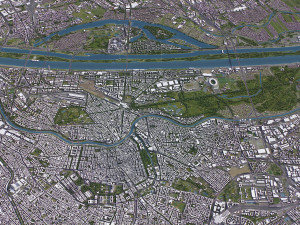
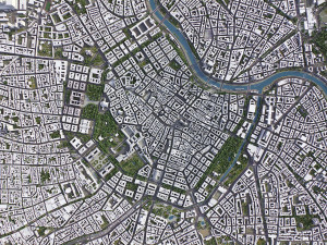
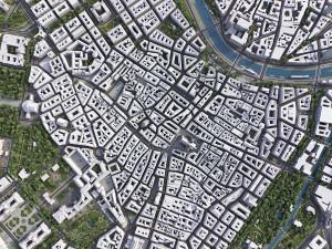
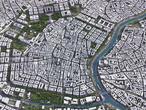
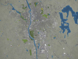
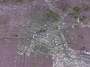
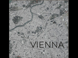
Vienna - 3D City Model 3D 模型 max, 从 3d.city.models
TOP-QUALITY 3D CITY MODEL - 2024 UPDATE- Message us to get a FREE sample scene of this product!
- Download an overview sample - https://each.city/sample
- 24/7 customer support — customization, flexible pricing and exclusive discounts
WHAT IS INCLUDED
- Scene size: Entire area — refer to promo images for scene extents
- Units: Meters — real-world scale
- Updated: January 2024 — want the latest? Ask before you pay
KEY BENEFITS
- 24/7 customer support — reach out to us anytime for pre-sale inquiries or after-sale support
- Extensive file format support — 3ds Max (native), fbx, obj, dae, c4d, skp, 3dm, rvt, blend, etc., or ask for more before payment
- Georeferencing — either Web Mercator, Trаnsverse Mercator, or original CRS. If a specific CRS is essential, ask before you pay
- Any scene size or crop to an area-of-interest — for best performance and format compatibility, inquire before paying
- Buildings, land-use areas, roads and railways split by type — layers / named objects
- Detailed landmarks with regular updates and improvements — available annually or upon pre-purchase inquiry
- Realistic and detailed surface texture — 1-meter resolution satellite imagery
- Flat surface, easy for detailing and geometry edits — topography terrain available at an additional cost. Message us for a quote
- Realistic low-poly vegetation — individual trees in max and fbx formats, additional formats upon request before you pay
- Product is ready to render out-of-the-box — 3ds Max + Corona Render
PRESENTATION IMAGES & MATERIALS
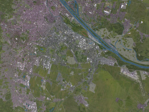
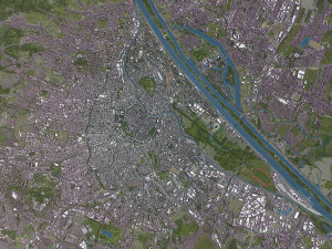
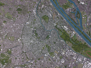
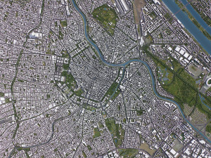
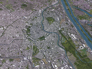
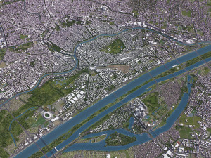
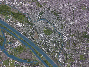
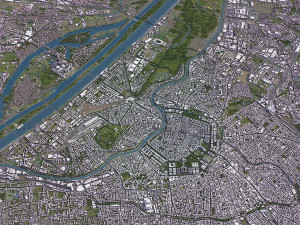
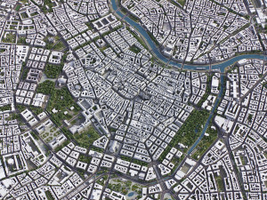
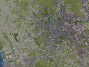
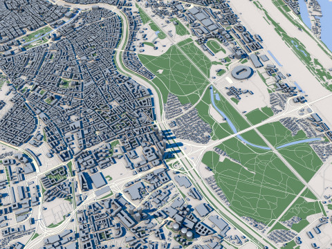
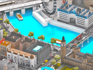
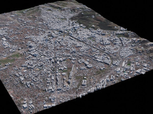
- 4K high-resolution renders — refer to images for level of detail and scene size
- Produced in 3ds Max — other software requires its rendering settings
- Trees, vegetation, land-use and airport surface with the textures assigned
- Buildings are UV mapped, split by material IDs, and no textures assigned
CUSTOMIZE & SAVE
- Message us to get a fully customizable model based on the options listed below
- Fast turnaround, flexible pricing and discounts
DATA AUTHENTICITY
- 100% real buildings coverage — unlike other sellers, we don’t use AI generated building footprints
- Combining multiple sources — you may provide us with any dataset to include in the model
GEOREFERENCING and GEOLOCATION - allows you to precisely position 3D content
- Web Mercator / WGS 84 — specified by true scale latitude
- Trаnsverse Mercator — defined by central meridian
- Original CRS — local or optimal for this area
TOPOGRAPHY TERRAIN
- Up to 1-meter accuracy digital terrain model (DTM) — quad mesh
- Multiple terrain LODs — triangle mesh optimized for the best polycount / details balance
- Buildings and roads placed on the optimized terrain
- Separate land surface and water bodies
- High-resolution satellite or surface texture — up to 0.2 meter accuracy
- Contour lines — 3D splines, up to 1-meter interval
MANUAL MODELING
- Buildings and structures — LOD2 and LOD3
- Elevated highways — interchanges, bridges and flyovers
TEXTURING
- High-resolution surface texture — satellite image up to 0.2 meter accuracy
- Streets and roads with markings texture — UV mapped along the center line
- Procedural textures assigned to all buildings — LOD1 only
- Realistic textures on individual buildings — LOD2 and LOD3
TREES & FORESTS
- Individual trees — real trees from OSM data
- Procedural forests — based on distribution areas, convertible to individual trees
OTHER EXTRAS
- Individual buildings and streets — separate objects with address and/or name
- Administrative boundaries of all levels — named polygons or outlines
- Road and railway splines — for traffic animation, etc.
- Public trаnsport stops — individual named objects
FILE FORMATS
- max — Autodesk 3ds Max
- fbx, obj, dae, 3ds — Exchange Formats
- uproject, uasset — Unreal Engine
- glb, gltf — Games, Web, AR/VR
- unitypackage — Unity 3D
- 3dm — Rhino 3D
- skp — SketchUp
- rvt — Autodesk Revit
- c4d — Cinema4D
- blend — Blender
- ma, mb — Autodesk Maya
- dwg, dxf — Autodesk AutoCAD
- stl — 3D Print
需要更多的格式吗?
如果你需要一个不同的格式,请打开一个新的支持票和为此请求。我们可以转换到 3D 模型: .stl, .c4d, .obj, .fbx, .ma/.mb, .3ds, .3dm, .dxf/.dwg, .max. .blend, .skp, .glb. 我们不转换 3d 场景 以及 .step, .iges, .stp, .sldprt 等格式。!使用信息
Vienna - 3D City Model - 您可以根据基本许可或扩展许可,将此免版税 3D 模型用于个人或商业用途。基本许可涵盖大多数标准用例,包括数字广告、设计和可视化项目、商业社交媒体账户、原生应用、Web 应用、视频游戏以及实体或数字最终产品(免费和出售)。
扩展许可包含基本许可授予的所有权利,没有任何使用限制,并允许在免版税条款下将 3D 模型用于无限的商业项目。
阅读更多
你提供退款保证呢?
是的我们做了。如果你购买的产品呈现或描述中发现一些错误,我们会尽快解决这个问题。如果我们不能纠正错误,我们将取消您的订单,你会得到你的钱回来在 24 小时内下载该项目。 阅读更多的条件在这里关键字
city map model area building center skyline landscape topography downtown skyscraper airport urban street sketchup terrain elevation 3d detailed realistic没有对这一项目的评论。


 English
 Español
 Deutsch
 日本語
日本語 Polska
 Français
 中國
中國 한국의
한국의 Українська
 Italiano
 Nederlands
 Türkçe
 Português
 Bahasa Indonesia
 Русский
 हिंदी
हिंदी