English
 Español
 Deutsch
 日本語
日本語 Polska
 Français
 中國
中國 한국의
한국의 Українська
 Italiano
 Nederlands
 Türkçe
 Português
 Bahasa Indonesia
 Русский
 हिंदी
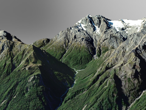
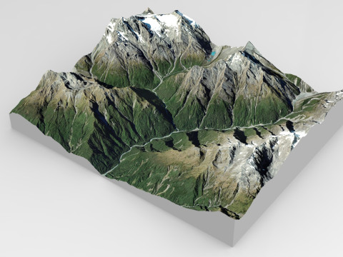
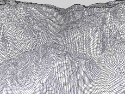
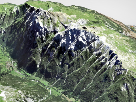
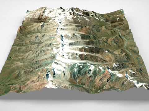
हिंदीMountain The Butler Range New Zealand Modelo 3D


- Formatos disponibles: Autodesk 3DS MAX (.max) 166.98 MB
Render: Standard
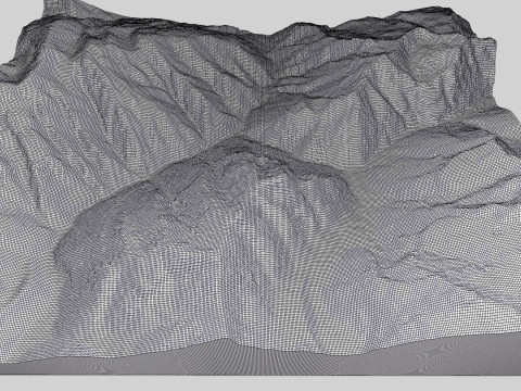
- Polígonos:267688
- Vértices:139845
- Animados:No
- Texturas:
- Articulados:No
- Materiales:
- Low-poly:No
- Colección:No
- Mapas UVW:
- Plugins Usados:No
- Listo para Imprimir:No
- 3D Scan:No
- Para adultos:No
- PBR:No
- AI Capacitación:No
- Geometría:Polygonal
- Desenvolver UVs:Mixed
- Vistas:1121
- Fecha: 2024-10-14
- ID de artículo:535611
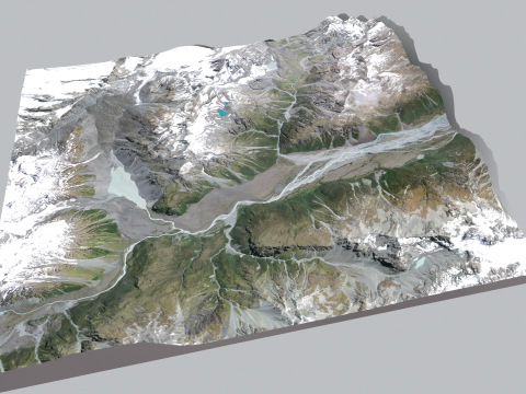
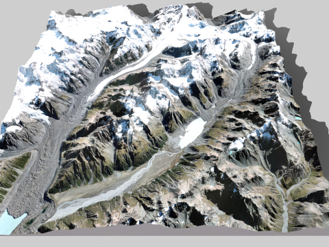
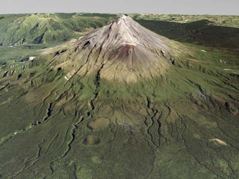
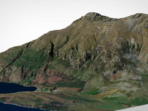
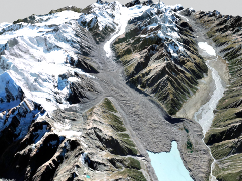
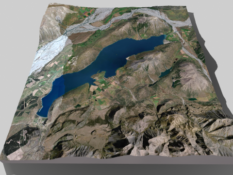
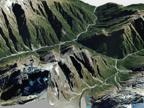
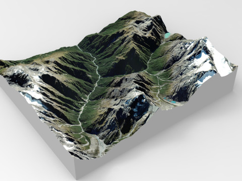
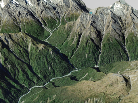
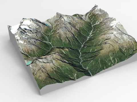
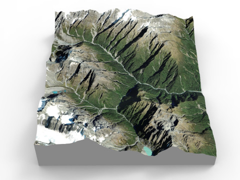
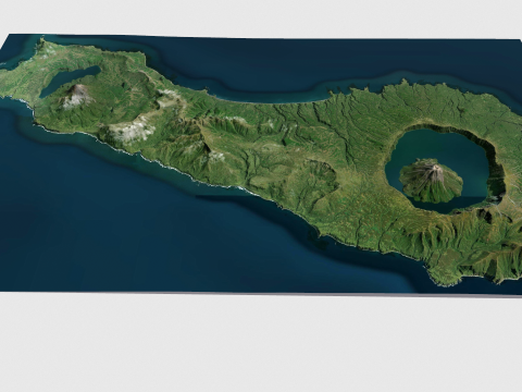
Mountain The Butler Range New Zealand
The Butler Range is a mountain range located in the Canterbury region of Ashburton on the South Island of New Zealand. To the south of the ridge flows the Rakaia River. The area was first cultivated by Samuel Butler, who named his domain Mesopotamia Station.
Model resolutions are optimized for polygon efficiency. All colors can be easily modified. Model is fully textured with all materials applied. No cleaning up necessary, just drop your models into the scene and start rendering. No special plugin needed to open scene.
File formats:
3ds Max 2015
OBJ (Multi Format)
3DS (Multi Format)
FBX (Multi Format)
Marmoset Toolbag 3 scene with materials
Unitypackage
(blend) Blender 2.91.2
(dae) Collada
Keyshot 10 scene
Stl (stereolithography) Ready to 3d print
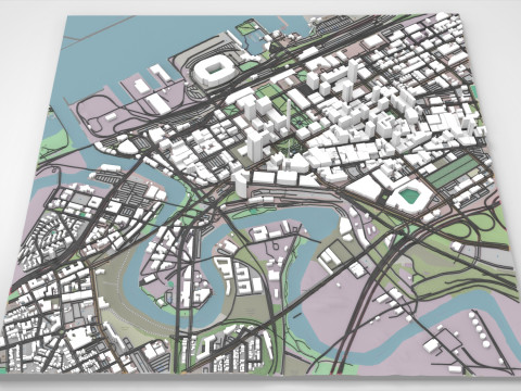
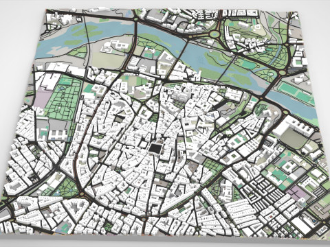
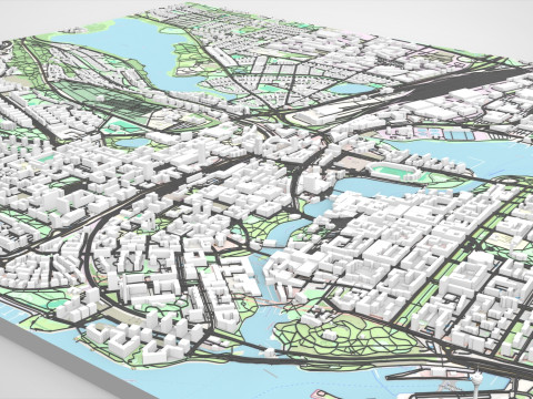
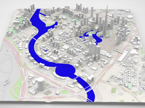
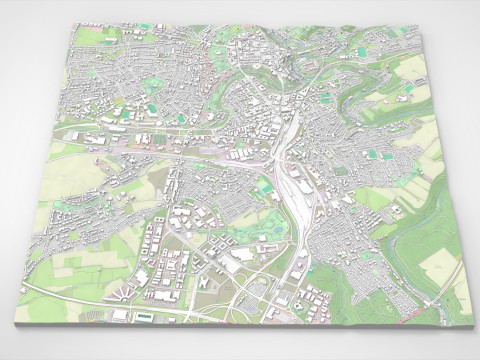
If you need to make a model of any piece of land or city, write to us and we will fulfill your order
Listo para Imprimir: NoSi precisa un formato distinto, por favor, abra una consulta de Soporte y solicítelo. Podemos convertir modelos 3D a: .stl, .c4d, .obj, .fbx, .ma/.mb, .3ds, .3dm, .dxf/.dwg, .max. .blend, .skp, .glb. Nosotros no convertimos escenas 3d y formatos como .step, .iges, .stp, .sldprt.!