English
 Español
 Deutsch
 日本語
日本語 Polska
 Français
 中國
中國 한국의
한국의 Українська
 Italiano
 Nederlands
 Türkçe
 Português
 Bahasa Indonesia
 Русский
 हिंदी
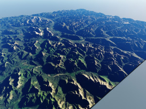
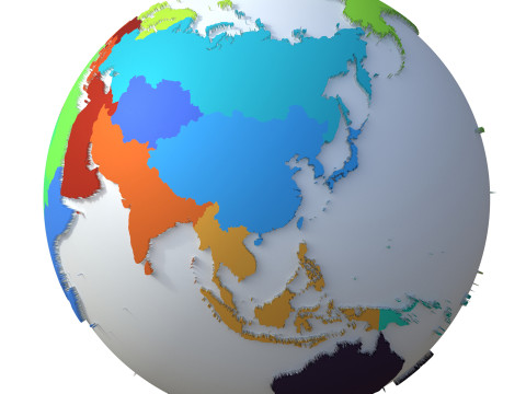
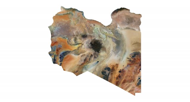
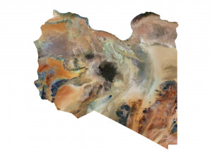
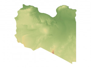
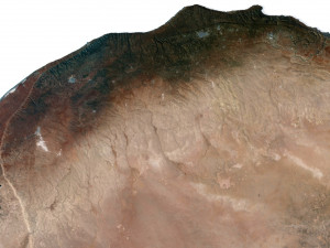
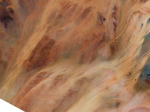
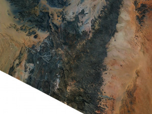
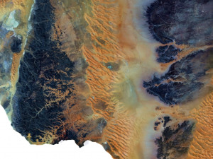
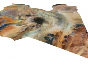
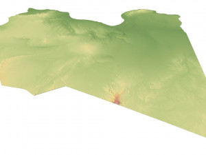
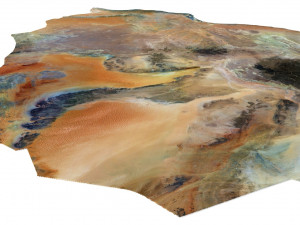
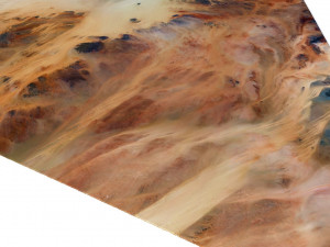
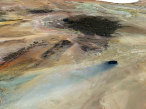
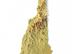
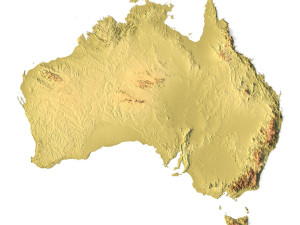
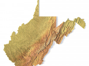
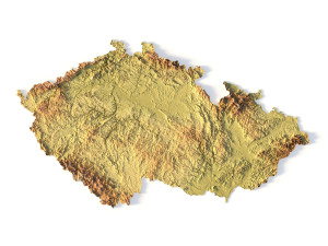
हिंदी3D-Geländekarte von Libyen 3D Modell
$
36.80 USD
- Fordern Sie Produktunterstützung

- Verfügbare Formate:
- Artikel-ID:462809
- Datum: 2023-09-01
- Polygone:9 990 450
- Eckpunkte:4 999 696
- Animiert:No
- Texturen:
- Rigged:No
- Materialien:
- Low-poly:No
- Sammlung:No
- UVW mapping:No
- Plugins Used:No
- Druckfertige:No
- 3D Scan:No
- Erwachsene:No
- PBR:No
- Geometrie:Polygonal
- Unwrapped UVs:Unknown
- Betrachter:2424
Beschreibung
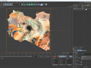
Format: C4DFile size (unzipped): 572 MB
Polygons: 9 990 450
Vertices: 4 999 696
Geometry: Polygonal Tris only
Model size: 1287.5 mm x 1287.5 mm x 3.857 mm
Projection: Mercator
Base: Open
Textures
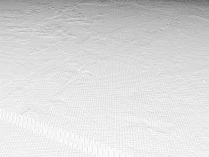
Height Map TIF 8192*8192*16b - You can use this map in the displacement channel instead of the polygonal mesh.
Normal Map TIF 8192*8192*48b - Use this map to reveal fine details of the relief.
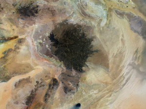
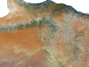
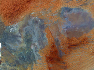
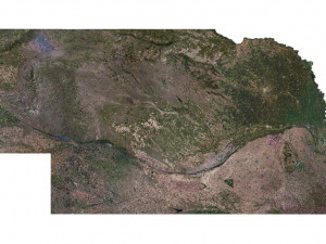
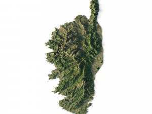
Satellite Map TIF 10300*10300*48b
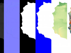
Water Mask TIF 10300*10300*48b - Use this map for masking in the Reflection channel to get glare from the water surface.
Pseudo-color Map 10300*10300*48b - Use this map to get elevation information based on the color shade.
Boundary Mask TIF 10300*10300*48b - Use this map as a mask for your background.
Other models can be made on request.
Modifications, conversion to OBJ, FBX, STL and other formats, more detailed models and better textures on request. Druckfertige: Nein
Sie brauchen mehr Formate?
Falls Sie ein anderes Format benötigen, eröffnen Sie bitte ein neues Support-Ticket und fragen Sie danach. Wir können 3D Modelle in folgende Formate konvertieren: .stl, .c4d, .obj, .fbx, .ma/.mb, .3ds, .3dm, .dxf/.dwg, .max. .blend, .skp, .glb. Kostenlose FormatkonvertierungWir konvertieren keine 3D Szenen und Formate wie .step, .iges, .stp, .sldprt usw!
Nutzungsinformationen
3D-Geländekarte von Libyen - Sie können dieses lizenzfreie 3D Modell gemäß der Basis- oder erweiterten Lizenz sowohl für private als auch für kommerzielle Zwecke verwenden.Die Basislizenz deckt die meisten Standardanwendungsfälle ab, darunter digitale Werbung, Design- und Visualisierungsprojekte, Social-Media-Konten von Unternehmen, native Apps, Web-Apps, Videospiele sowie physische oder digitale Endprodukte (sowohl kostenlos als auch kostenpflichtig).
Die Erweiterte Lizenz umfasst alle unter der Basislizenz gewährten Rechte ohne Nutzungsbeschränkungen und ermöglicht die Verwendung des 3D Modells in unbegrenzten kommerziellen Projekten unter Lizenzgebührenfreiheit.
Mehr lesen
Bieten Sie eine Geld-zurück-Garantie?
Ja, tun wir. Wenn Sie ein Produkt erworben haben und einen Fehler in den Rendern oder der Beschreibung finden, werden wir versuchen das Problem so bad wie möglich zu beheben. Wenn wir den Fehler nicht beheben können, stornieren wir Ihre Bestellung und Sie bekommen Ihr Geld innerhalb von 24 Stunden nach dem Download des Artikels zurück. . Lesen Sie weitere Bedingungen hierStichworte
Zufällige Artikel des Autors
Alle von hochgeladenen Artikel anzeigen sychev23021983-20%

stl
sychev23021983
Terrain
-20%
stl
sychev23021983
Terrain
Es gibt keine Kommentare zu diesem Artikel.