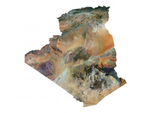
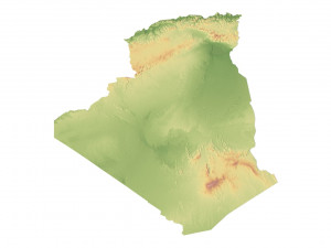
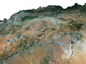
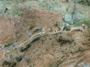
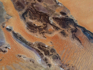
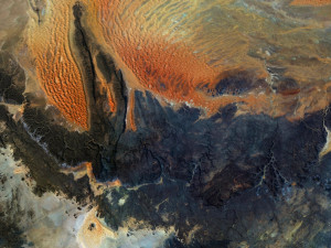
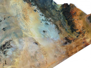
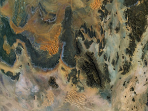
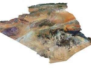
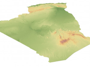
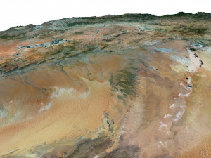
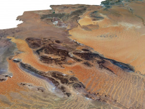
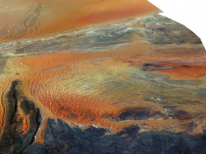
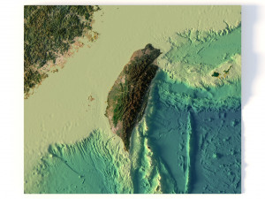
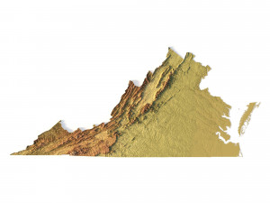
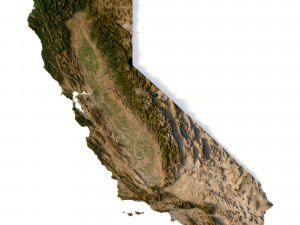
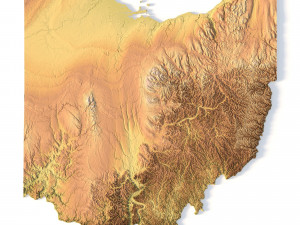
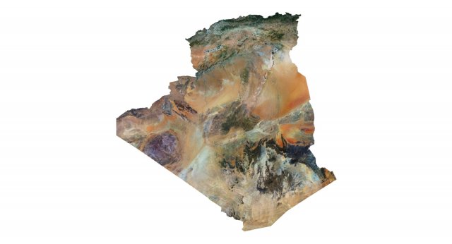
Algerije terrein 3D-kaart 3D Model
$
36.80 USD
- Vraag productondersteuning
- Mogelijke formaten:
- Item ID:463112
- Datum: 2023-09-03
- Polygonen:9 986 528
- Hoekpunten:4 997 745
- Geanimeerd:No
- Texturen:
- Gemanipuleerd:No
- Materialen:
- Low-poly:No
- Collectie:No
- UVW-toewijzing:No
- Plugins Gebruikt:No
- Afdruk Gereed:No
- 3D scan:No
- Volwassen:No
- PBR:No
- Geometrie:Polygonal
- Onverpakte UV's:Unknown
- Aantal keer bekeken:2679
Beschrijving
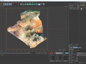
Format: C4DFile size (unzipped): 572 MB
Polygons: 9 986 528
Vertices: 4 997 745
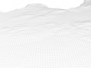
Geometry: Polygonal Tris only
Model size: 1250 mm x 1250 mm x 3.167 mm
Projection: Mercator
Base: Open
Textures
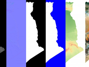
Height Map TIF 8192*8192*16b - You can use this map in the displacement channel instead of the polygonal mesh.
Normal Map TIF 8192*8192*48b - Use this map to reveal fine details of the relief.
Satellite Map TIF 10000*10000*24b
Water Mask TIF 10000*10000*24b - Use this map for masking in the Reflection channel to get glare from the water surface.
Pseudo-color Map 10000*10000*24b - Use this map to get elevation information based on the color shade.
Boundary Mask TIF 10000*10000*24b - Use this map as a mask for your background.
Other models can be made on request.
Modifications, conversion to OBJ, FBX, STL and other formats, more detailed models and better textures on request. Afdruk Gereed: Nee
Meer formaten nodig?
Als u een ander formaat nodig heeft, open dan alstublieft een nieuwe Support Ticket en vraag om een ander formaat. Wij kunnen uw 3D modelen van vorm veranderen naar: .stl, .c4d, .obj, .fbx, .ma/.mb, .3ds, .3dm, .dxf/.dwg, .max. .blend, .skp, .glb. Gratis formaatconversieWe converteren geen 3D scènes en formaten zoals .step, .iges, .stp, .sldprt.!
Gebruiksinformatie
Algerije terrein 3D-kaart - U kunt dit royaltyvrije 3D model gebruiken voor zowel persoonlijke als commerciële doeleinden, in overeenstemming met de Basislicentie of Uitgebreide Licentie.De Basislicentie dekt de meeste standaard use cases, waaronder digitale advertenties, ontwerp- en visualisatieprojecten, zakelijke socialmedia-accounts, native apps, webapps, videogames en fysieke of digitale eindproducten (zowel gratis als verkocht).
De Uitgebreide Licentie omvat alle rechten die worden verleend onder de Basislicentie, zonder gebruiksbeperkingen, en staat toe dat het 3D model wordt gebruikt in onbeperkte commerciële projecten onder royaltyvrije voorwaarden.
Lees meer
Hebben jullie een geld terug garantie?
Ja, dat hebben we. Als u een product heeft gekocht en u een fout gevonden heeft in de beschrijving of in het product zelf, zullen wij het probleem zo snel mogelijk oplossen. Als wij het probleem niet kunnen oplossen, zullen wij uw bestelling annuleren en krijgt u uw geld terug binnen 24 na downloaden van het product. Lees more benodigdheden hierKeyworden
Willekeurige items van de auteur
Laat alle toegevoegde items zien door sychev23021983Er zijn geen opmerkingen voor dit item.


 English
 Español
 Deutsch
 日本語
日本語 Polska
 Français
 中國
中國 한국의
한국의 Українська
 Italiano
 Nederlands
 Türkçe
 Português
 Bahasa Indonesia
 Русский
 हिंदी
हिंदी