
 English
 Español
 Deutsch
 日本語
日本語 Polska
 Français
 中國
中國 한국의
한국의 Українська
 Italiano
 Nederlands
 Türkçe
 Português
 Bahasa Indonesia
 Русский
 हिंदी
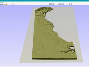
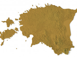
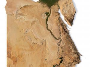
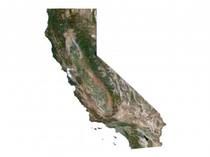
हिंदीTopographic Map Delaware STL Model Modello di stampa 3D

- Formati disponibili: Stereolithography (.stl) 121.11 MB
- Collezione:No
- Larghezza in millimetri:33
- Altezza in millimetri:0.28
- Profondità in millimetri:79
- Stampa Pronta:No
- 3D Scan:No
- Per adulti:No
- PBR:No
- AI Formazione:No
- Visualizzazioni:2040
- Data: 2022-06-17
- ID Oggetto:402261
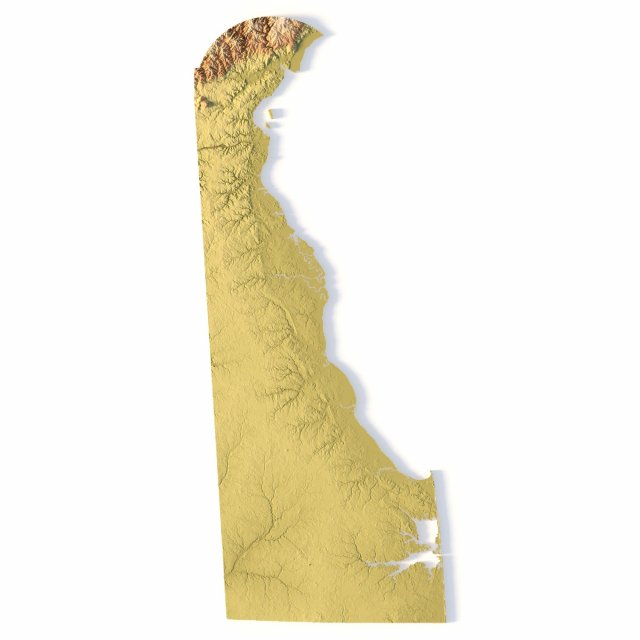
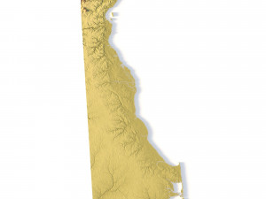
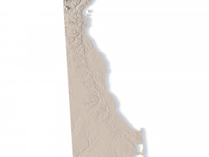
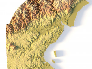
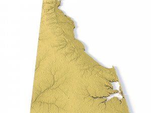
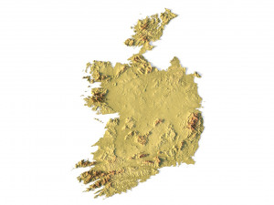
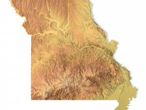
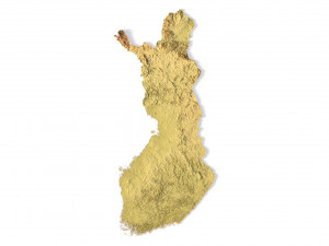
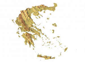
Create Precise Delaware Terrain Models with This 3D STL File
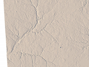
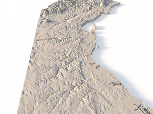
The Topographic Map Delaware STL model offers a highly detailed relief map of Delaware’s landscape. Perfect for creating physical models from wood, metal, plastic, or concrete, this 3D model is ideal for terrain visualization and landform representation. Whether for educational projects, geospatial analysis, or personal use, this model provides accurate elevation data of Delaware’s terrain.
- File size: 144 MB
- Model size: 32.91 mm x 79.38 mm x 0.284 mm
- Projection: Mercator
- Scaling factor: X — 1; Y — 1; Z — 3
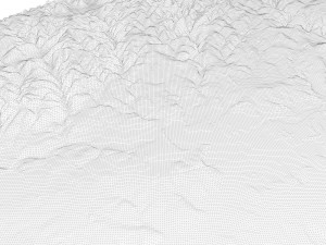
- Polygons: 3 039 422
- Vertices: 1 528 786
- Geometry: Polygonal Tris only
- Base: Closed
Features of the Delaware Topographic STL Model
Compatible with FDM/SLA 3D printers to create terrain models in plastic or photopolymer.
Designed for CNC machines for creating wood or metal models.
Supports high-precision laser engraving for metal surface relief maps.
Se hai bisogno di diversi formati, aprire un nuovo Ticket i Supporto e una richiesta per questo. Convertiamo modelli 3D a: .stl, .c4d, .obj, .fbx, .ma/.mb, .3ds, .3dm, .dxf/.dwg, .max. .blend, .skp, .glb. Non convertiamo scene 3d e formati come .step, .iges, .stp, .sldprt.!


