English
 Español
 Deutsch
 日本語
日本語 Polska
 Français
 中國
中國 한국의
한국의 Українська
 Italiano
 Nederlands
 Türkçe
 Português
 Bahasa Indonesia
 Русский
 हिंदी
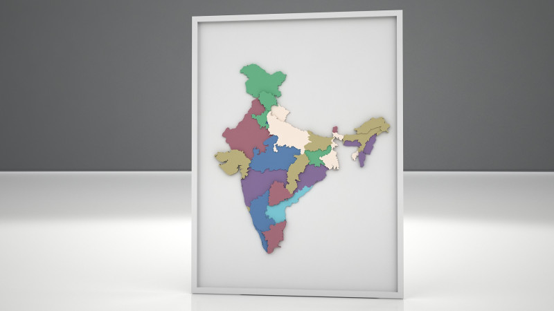
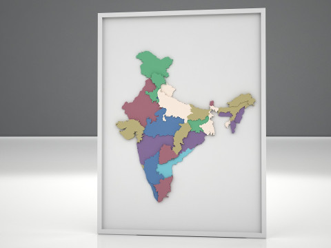
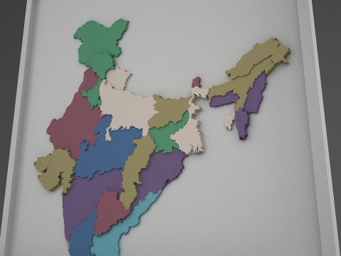
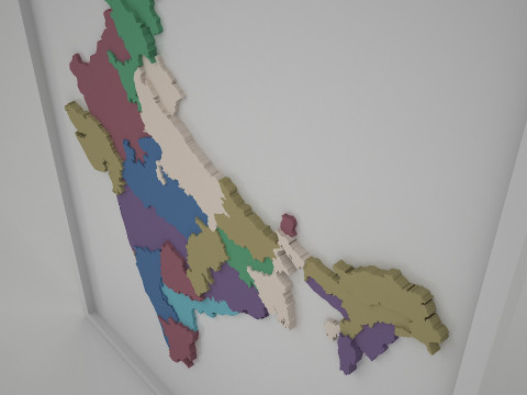
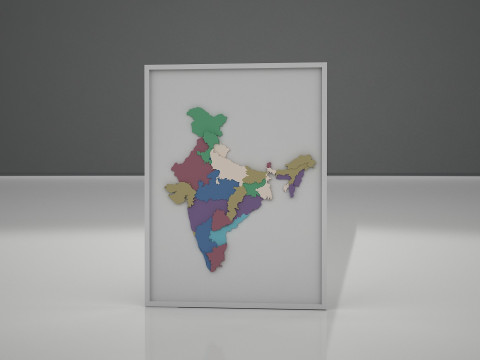
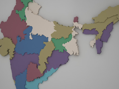
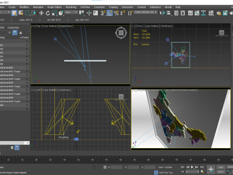
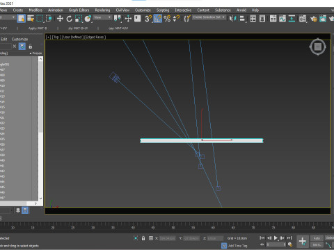
हिंदी州と国境を含むインドの 3D 地図の印刷可能なモデル 3Dモデル
CYBER MONDAY
SALE 50% OFF
$
2.95 USD
- 作者による製品サポートのリクエスト

- 利用可能フォーマット:
- アイテム ID:594092
- 日付: 2025-08-22
- 多角形:203648
- 頂点:101886
- アニメーション:No
- テクスチャー加工:No
- 装飾:No
- 素材:
- 低ポリ:No
- コレクション:No
- UVW マッピング:No
- 使用中プラグイン:No
- 印刷 準備:
- 3D スキャン:No
- 成人コンテンツ:No
- PBR:No
- AIトレーニング:No
- ジオメトリ:Polygonal
- 展開済 UVs:No
- ビュー:208
説明
High-quality 3D model of India featuring detailed state borders. Created in 3ds Max 2021 and rendered with V-Ray 3.2 for realistic visualization. This model includes clean geometry with accurate regional divisions, making it ideal for educational projects, presentations, and architectural or geographical visualizations. Provided in multiple formats including .max, .fbx, .obj, .blend, and .stl, making it versatile for 3D printing, rendering, and animation workflows. Suitable for close-up renders, infographic videos, or as a printable 3D map model for physical displays.
フォーマットが必要ですか?
異なるフォーマットが必要な場合、サポートチケットを開き、注文をしてください。3Dモデルをこれらに変換できます: .stl, .c4d, .obj, .fbx, .ma/.mb, .3ds, .3dm, .dxf/.dwg, .max. .blend, .skp, .glb. フリーフォーマット変換3D シーンは変換しません .step、.iges、.stp、.sldprt などの形式。!
使用情報
州と国境を含むインドの 3D 地図の印刷可能なモデル - このロイヤリティフリーの3Dモデルは、基本ライセンスまたは拡張ライセンスに従って、個人および商用目的で使用できます。基本ライセンスは、デジタル広告、デザインおよび視覚化プロジェクト、ビジネスソーシャルメディアアカウント、ネイティブアプリ、ウェブアプリ、ビデオゲーム、物理またはデジタル最終製品(無料および有償)など、ほとんどの標準的な使用事例をカバーしています。
拡張ライセンスには、基本ライセンスで付与されるすべての権利が使用制限なしで含まれており、ロイヤリティフリーの条件の下で、3Dモデルを無制限の商用プロジェクトで使用できます。
詳細を読む
返金保証をしていますか?
はい。商品を購入し、説明やレンダリングに破損など見つけた場合、我々は出来るだけ早く問題を解決するよう努力いたします。もし問題が解決しない場合、我々が注文をキャンセルし。アイテムのダウンロード後24時間以内に返金をいたします。詳細な条件を読むキーワード
同じ作者のアイテム(ランダム)

-50%
fbx obj zprj jpg
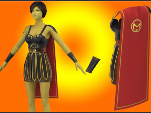
bashar
Clothing
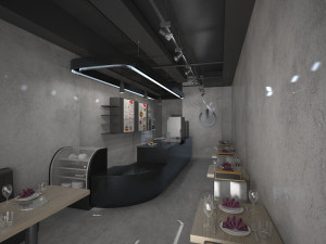
-50%
dxf fbx obj obj zprj jpg
bashar
Clothing
このアイテムにコメントはありません。