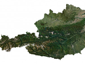
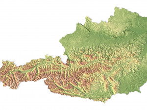
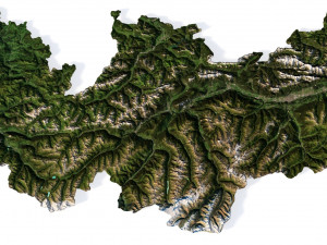
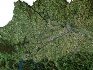
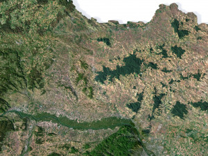
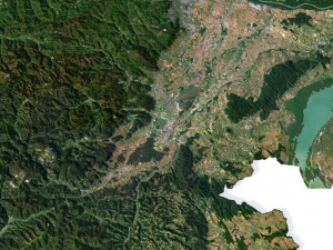
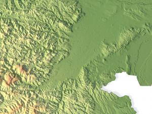
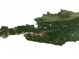
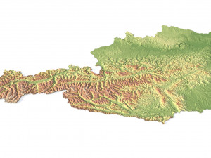
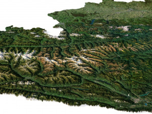
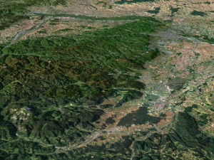
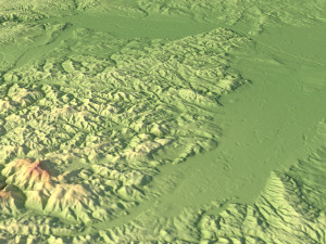
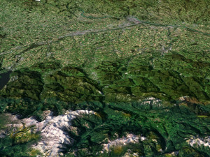
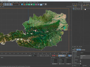
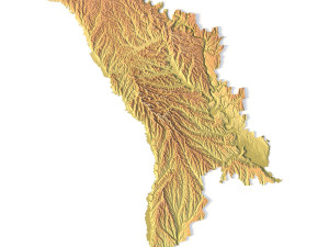
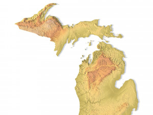
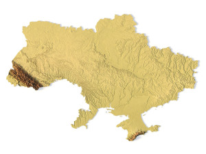
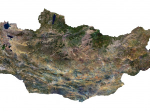
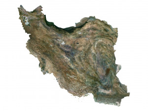
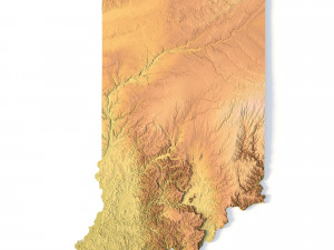
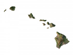
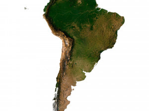
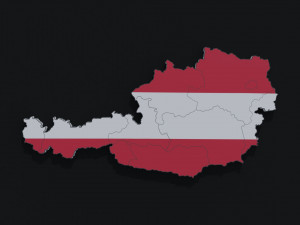
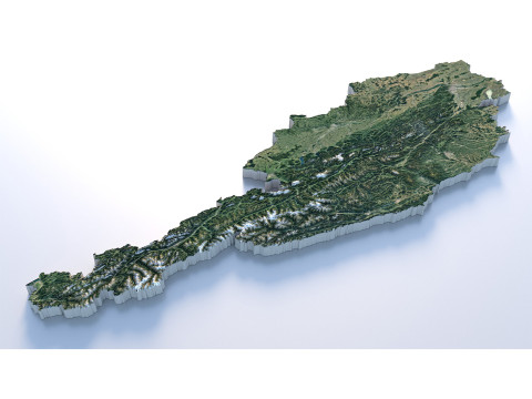
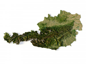
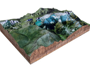
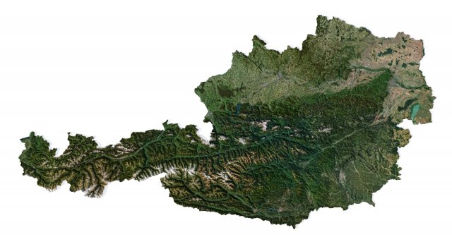
Austria Terrain 3D Map 3Dモデル
LAST SUMMER SALE -50%
expires on August 17th, 2025
expires on August 17th, 2025
$27.60
4 DAYS SALE
- 利用可能フォーマット: Cinema4D: c4d 725.94 MB
レンダー: Standard
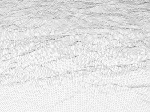
- 多角形:9 986 528
- 頂点:4 997 745
- アニメーション:No
- テクスチャー加工:
- 装飾:No
- 素材:
- 低ポリ:No
- コレクション:No
- UVW マッピング:
- 使用中プラグイン:No
- 印刷 準備:No
- 3D スキャン:No
- 成人コンテンツ:No
- PBR:No
- ジオメトリ:Polygonal
- 展開済 UVs:Unknown
- ビュー:2670
- 日付: 2023-07-12
- アイテム ID:454172
- 評価:
Format: C4D
File size (unzipped): 571 MB
Polygons: 9 986 528
Vertices: 4 997 745
Geometry: Polygonal Tris only
Model size: 1500 mm x 800 mm x 10.873 mm
Projection: Mercator
Base: Open
UV layer: Yes (frontal)
Textures
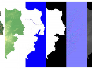
Height Map TIF 8192*4369*16b - You can use this map in the displacement channel instead of the polygonal mesh.
Normal Map TIF 8192*4369*48b - Use this map to reveal fine details of the relief.
Satellite Map TIF 12000*6400*24b
Water Mask TIF 12000*6400*24b - Use this map for masking in the Reflection channel to get glare from the water surface.
Pseudo-color Map 12000*6400*24b - Use this map to get elevation information based on the color shade.
Boundary Mask TIF 12000*6400*24b - Use this map as a mask for your background.
Other models can be made on request.
Modifications, conversion to OBJ, FBX, STL and other formats, more detailed models and better textures on request. 印刷 準備: いいえ
詳細を読むFile size (unzipped): 571 MB
Polygons: 9 986 528
Vertices: 4 997 745
Geometry: Polygonal Tris only
Model size: 1500 mm x 800 mm x 10.873 mm
Projection: Mercator
Base: Open
UV layer: Yes (frontal)
Textures
Height Map TIF 8192*4369*16b - You can use this map in the displacement channel instead of the polygonal mesh.
Normal Map TIF 8192*4369*48b - Use this map to reveal fine details of the relief.
Satellite Map TIF 12000*6400*24b
Water Mask TIF 12000*6400*24b - Use this map for masking in the Reflection channel to get glare from the water surface.
Pseudo-color Map 12000*6400*24b - Use this map to get elevation information based on the color shade.
Boundary Mask TIF 12000*6400*24b - Use this map as a mask for your background.
Other models can be made on request.
Modifications, conversion to OBJ, FBX, STL and other formats, more detailed models and better textures on request. 印刷 準備: いいえ
フォーマットが必要ですか?
異なるフォーマットが必要な場合、サポートチケットを開き、注文をしてください。3Dモデルをこれらに変換できます: .stl, .c4d, .obj, .fbx, .ma/.mb, .3ds, .3dm, .dxf/.dwg, .max. .blend, .skp, .glb. 3D シーンは変換しません .step、.iges、.stp、.sldprt などの形式。!
異なるフォーマットが必要な場合、サポートチケットを開き、注文をしてください。3Dモデルをこれらに変換できます: .stl, .c4d, .obj, .fbx, .ma/.mb, .3ds, .3dm, .dxf/.dwg, .max. .blend, .skp, .glb. 3D シーンは変換しません .step、.iges、.stp、.sldprt などの形式。!
ダウンロード Austria Terrain 3D Map 3Dモデル c4d から sychev23021983
austria europe map landscape terrain country relief geography continent mountainこのアイテムにコメントはありません。


 English
 Español
 Deutsch
 日本語
日本語 Polska
 Français
 中國
中國 한국의
한국의 Українська
 Italiano
 Nederlands
 Türkçe
 Português
 Bahasa Indonesia
 Русский
 हिंदी
हिंदी