
 English
 Español
 Deutsch
 Français
 한국의
한국의 Italiano
 Nederlands
 Türkçe
 Português
















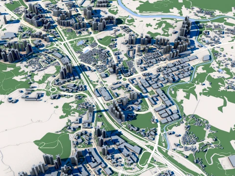
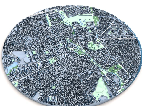
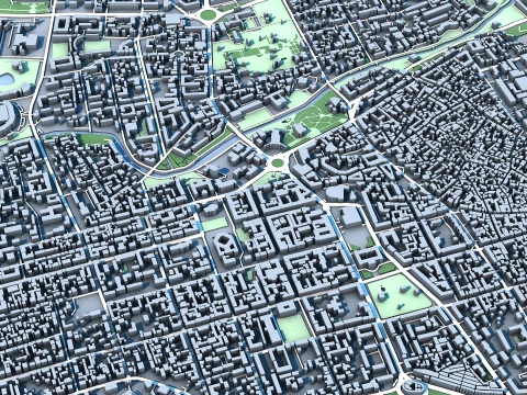
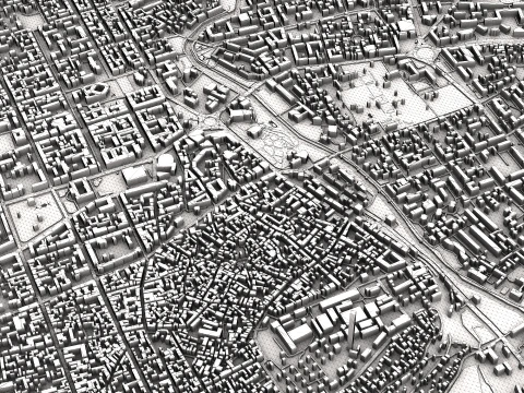
シンフェロポリの街並み クリミア首都交通のハブ サクヒール川渓谷の建築 低ポリ 3Dモデル
- 作者による製品サポートのリクエスト


- 利用可能フォーマット:
- アイテム ID:641350
- 日付: 2026-05-22
- 多角形:1
- 頂点:1
- アニメーション:No
- テクスチャー加工:No
- 装飾:No
- 素材:Yes
- 低ポリ:Yes
- コレクション:No
- UVW マッピング:No
- 使用中プラグイン:No
- 印刷 準備:No
- 3D スキャン:No
- 成人コンテンツ:No
- PBR:No
- AIトレーニング:No
- AI Generated:No
- ジオメトリ:Polygonal
- 展開済 UVs:No
- ビュー:221
説明
Objects Information:
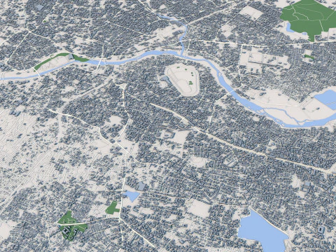
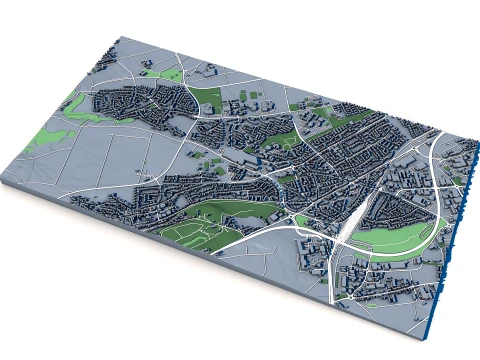
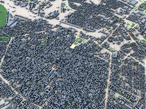
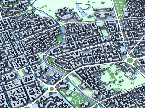
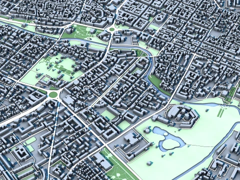
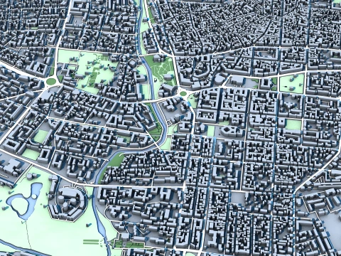
Simferopol Cityscape 3D Model – Crimean Capital & Transport Hub – Salhir River Valley Architecture
Object: terrain
- Points: 252163
- Polygons: 551353
Object: roads
- Points: 282648
- Polygons: 560120
Object: buildings
- Points: 832357
- Polygons: 1636720
Object: water
- Points: 13032
- Polygons: 28217
Object: grass
- Points: 15246
- Polygons: 29412
Object: vegetation
- Points: 22530
- Polygons: 45020
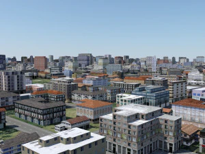
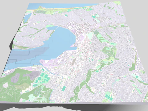
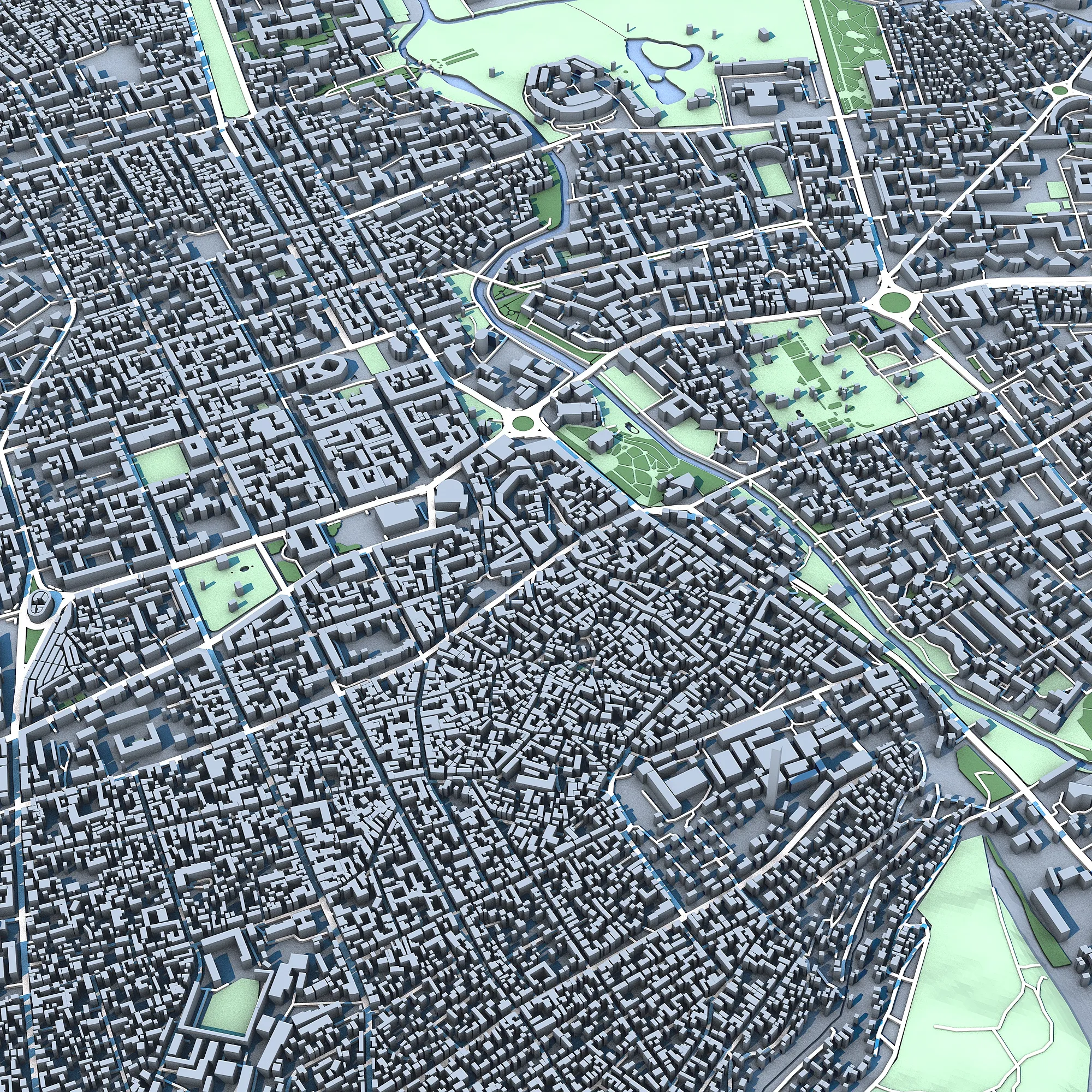
A detailed 3D model of Simferopol, the administrative capital of the Crimean Peninsula, located in the Salhir River valley between the Black Sea coast and the Crimean Mountains. This cityscape captures the city's role as a major transport and cultural crossroads, featuring the historic Neoclassical buildings of the 19th century, the Simferopol Railway Station, the Tatar-era Kebir-Jami Mosque, and the modern administrative complexes. Reflecting a mix of Russian, Ukrainian, and Crimean Tatar influences, this model represents Simferopol's unique position as a gateway to Crimea's cultural and natural landscapes.
印刷 準備: いいえフォーマットが必要ですか?
異なるフォーマットが必要な場合、サポートチケットを開き、注文をしてください。3Dモデルをこれらに変換できます: .stl, .c4d, .obj, .fbx, .ma/.mb, .3ds, .3dm, .dxf/.dwg, .max. .blend, .skp, .glb. フリーフォーマット変換3D シーンは変換しません .step、.iges、.stp、.sldprt などの形式。!
使用情報
シンフェロポリの街並み クリミア首都交通のハブ サクヒール川渓谷の建築 - このロイヤリティフリーの3Dモデルは、基本ライセンスまたは拡張ライセンスに従って、個人および商用目的で使用できます。基本ライセンスは、デジタル広告、デザインおよび視覚化プロジェクト、ビジネスソーシャルメディアアカウント、ネイティブアプリ、ウェブアプリ、ビデオゲーム、物理またはデジタル最終製品(無料および有償)など、ほとんどの標準的な使用事例をカバーしています。
拡張ライセンスには、基本ライセンスで付与されるすべての権利が使用制限なしで含まれており、ロイヤリティフリーの条件の下で、3Dモデルを無制限の商用プロジェクトで使用できます。
詳細を読む