English
 Español
 Deutsch
 日本語
日本語 Polska
 Français
 中國
中國 한국의
한국의 Українська
 Italiano
 Nederlands
 Türkçe
 Português
 Bahasa Indonesia
 Русский
 हिंदी
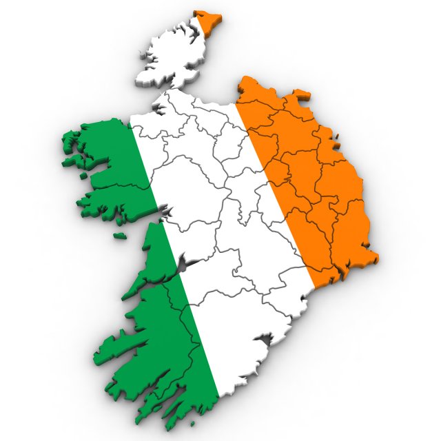
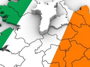
हिंदी3d political map of ireland 3D Model


- Available formats: 3DS MAX all ver.: 3ds 1.38 MBWavefront OBJ: obj 1.64 MB3DS MAX ver.2010: max2010 359.01 kb
- Polygons:45745
- Vertices:22953
- Animated:No
- Textured:
- Rigged:No
- Materials:
- Low-poly:No
- Collection:No
- UVW mapping:
- Plugins Used:No
- Print Ready:No
- 3D Scan:No
- Adult content:No
- PBR:No
- Geometry:Polygonal
- Unwrapped UVs:Unknown
- Views:1696
- Date: 2021-12-27
- Item ID:380225
- Rating:
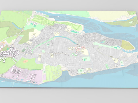
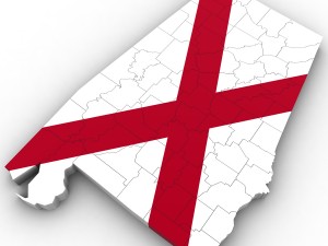
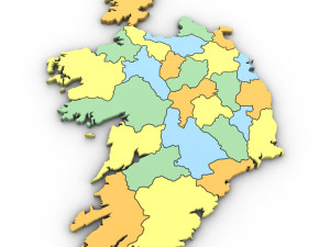
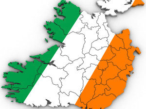
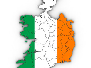
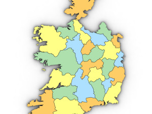
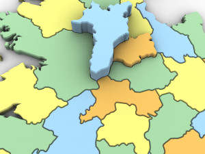
high poly 3d model of the map of ireland. includes all the regions of ireland.
3ds max version and all exported geometries include standard procedural materials; no additional plugins are required for this product.
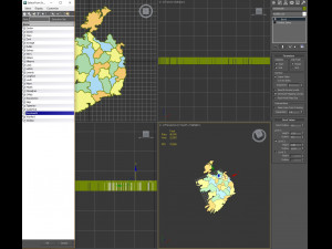
3ds max version only all irish regions are editable splines with the bevel modifier applied allowing for adjustments in height and/or removal of the bevel. all exported versions will be editable poly/mesh. all models are properly labeled with correct region names. Print Ready: No
Read more3ds max version and all exported geometries include standard procedural materials; no additional plugins are required for this product.
3ds max version only all irish regions are editable splines with the bevel modifier applied allowing for adjustments in height and/or removal of the bevel. all exported versions will be editable poly/mesh. all models are properly labeled with correct region names. Print Ready: No
Need more formats?
If you need a different format, please send us a Conversion Request. We can convert 3D models to: .stl, .c4d, .obj, .fbx, .ma/.mb, .3ds, .3dm, .dxf/.dwg, .max. .blend, .skp, .glb. We do not convert 3d scenes and solid formats such as .step, .iges, .stp, .sldprt etc!
If you need a different format, please send us a Conversion Request. We can convert 3D models to: .stl, .c4d, .obj, .fbx, .ma/.mb, .3ds, .3dm, .dxf/.dwg, .max. .blend, .skp, .glb. We do not convert 3d scenes and solid formats such as .step, .iges, .stp, .sldprt etc!
Download 3d political map of ireland 3D Model 3ds obj max2010 From Plutonius
commonwealth cork dublin ireland irish political kingdom map politics uk tipperaryThere are no comments for this item.