
 English
 Español
 Deutsch
 日本語
日本語 Polska
 Français
 한국의
한국의 Українська
 Italiano
 Nederlands
 Türkçe
 Português
 Bahasa Indonesia
 Русский
 中國
中國 हिंदी
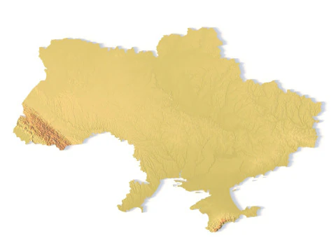
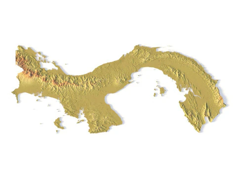
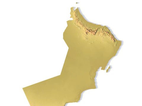
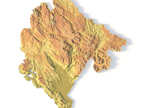
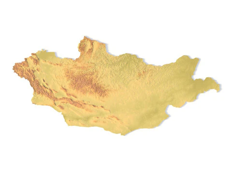
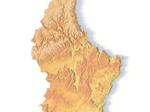
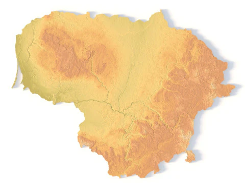
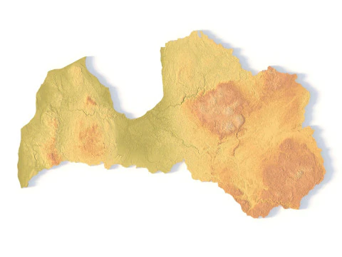
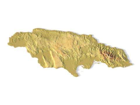
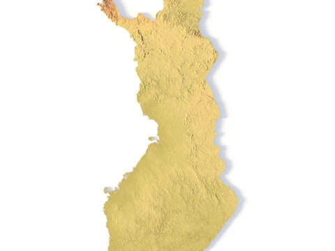
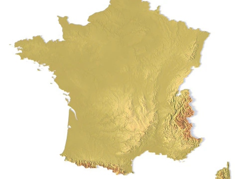
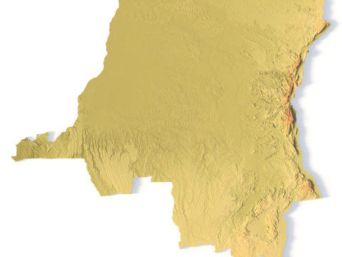
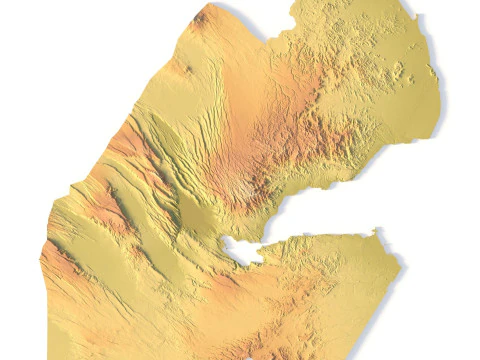
हिंदीTerrain 3D Print Models
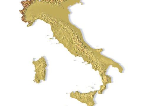
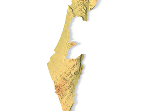
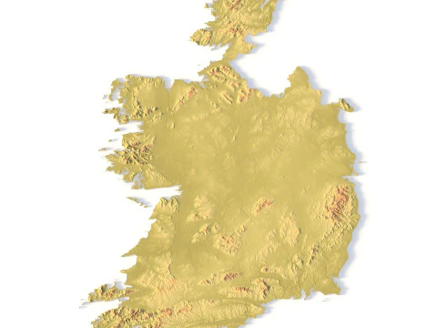
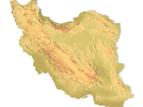
We have 394 item(s) Royalty free 3D Models. You are in the 3D Printable Terrain category which is a brand new collection of 3d printable terrain of different kinds. Here download an excellent 3d printable terrain model. Any 3d printable terrain models is available in all 3d formats: .obj, .stl, .iges, .3dm, .skp, .fbx and .blend etc. Contact our Support team for the format you need. All the 3d printable terrain models are created by professional artists. You will be greatly impressed by their diversity and beauty. Check the whole category and find exactly what you need for your 3d printing. Find other models in Science 3D Print Models and Art 3D Print Models categories.
 sychev23021983Terrain
 sychev23021983Terrain
 sychev23021983Terrain
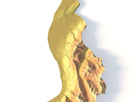 sychev23021983Terrain
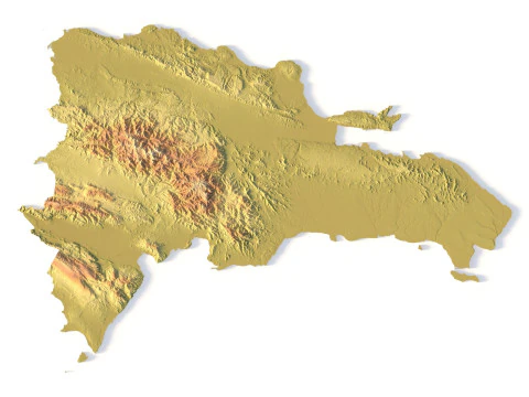 sychev23021983Terrain
 sychev23021983Terrain
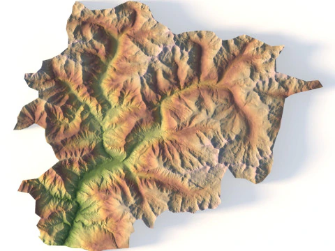 sychev23021983Terrain


Trending searches 3D Models:
Sculpture 3D Models Characters 3D Models Kitchen 3D Models Horse 3D Models Architectural Exteriors 3D Models Phone and Cell Phone 3D Models Vegetable 3D Models Jewellery 3D Models Toys 3D Models Medical 3D Models Helicopter 3D Models Heavy Weapon 3D Models Truck 3D Models Anatomy 3D ModelsWhat types of physical landscapes and topographies are available?
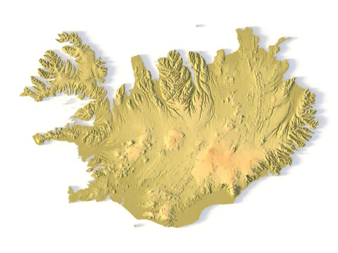
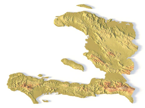
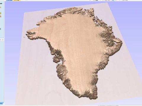
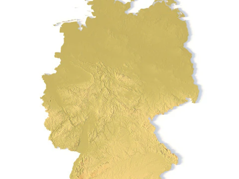
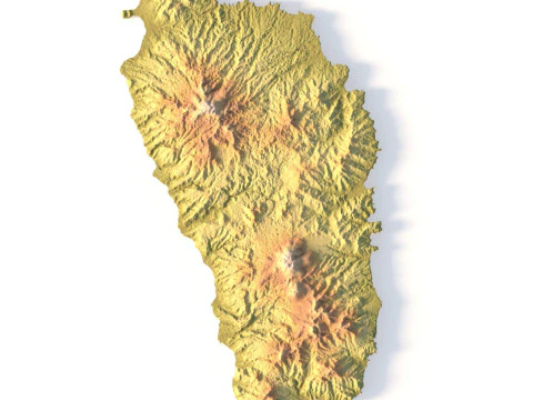
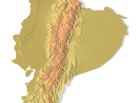
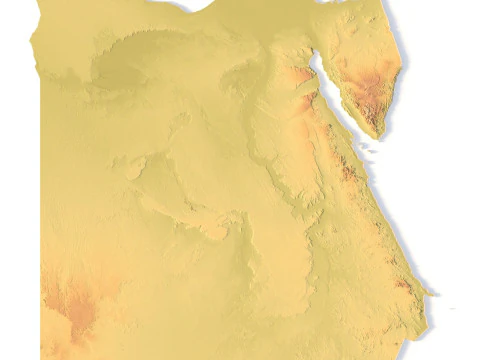
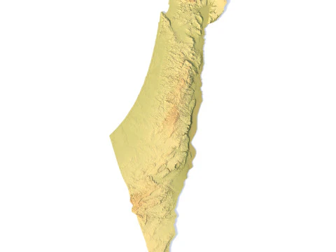
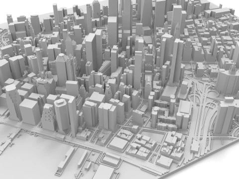
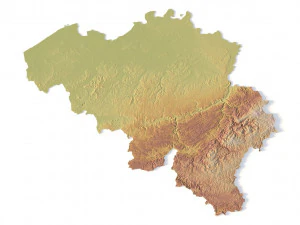
The terrain category for 3D printing is a library of physical geography, featuring detailed replicas of real-world mountain ranges, islands, and river basins. In 2026, we offer high-resolution topographic models derived from satellite data and geological surveys. These models are essential for educators, geologists, and hobbyists building physical dioramas or architectural models. Each terrain is designed with a solid base and manifold geometry, ensuring a successful print. Whether you need a model of Mount Everest or a custom-designed fantasy island, this category provides the high-fidelity files needed to bring the Earth's surface into the physical world with absolute precision.
How are these models optimized for successful 3D printing?
Printing reliability is a primary requirement for 2026 terrain models, and our collection features watertight geometry specifically designed for FDM and resin printers. We ensure the models have a flat, stable base for easy adhesion to the print bed. The vertical scale is often slightly exaggerated to ensure that ridges and valleys are clearly visible at smaller physical scales. We provide the models with optimized poly counts to ensure they can be sliced quickly without losing the fine geological detail. This ensures that your physical terrain models are durable, detailed, and easy to print, providing a professional solution for any physical landscaping or diorama project.
Can I use these models for architectural and site planning?
Absolutely. Our 2026 terrain models serve as an excellent foundation for architectural site models. By printing the physical topography of a building site, architects can better visualize the interaction between their design and the natural landscape. These models are built to accurate scales, allowing for precise placement of buildings and infrastructure. This physical representation is invaluable for presenting concepts to clients and local planning boards, providing a clear and professional understanding of how a project sits within its environment. It is a vital tool for the modern architectural workflow, bridging the gap between digital design and physical reality.
Are there models of underwater bathymetry and sea floors?
Yes, reflecting the expanded geological data of 2026, we offer models of underwater terrains, including ocean trenches and continental shelves. These bathymetric models allow for the physical representation of the world beneath the waves, which is essential for marine biology studies and environmental education. These models feature the same high level of detail as our terrestrial terrains, showcasing the complex canyons and ridges of the sea floor. They provide a unique and professional visual aid for understanding oceanic geography, allowing users to hold and examine the hidden structures of our planet's vast and mysterious underwater landscapes.
What printing settings are best for detailed terrain models?
To capture the fine details of a 3D terrain in 2026, we recommend using a small layer height (0.1mm or less) to minimize visible stepping on the slopes. For resin printers, using a high-resolution setting will capture every crag and ridge with incredible clarity. If printing in PLA, using a matte filament can help hide layer lines and make the geological details more visible. We suggest using a high-density infill for durability, especially for educational models that will be handled frequently. These settings ensure your physical terrain prints look professional and accurately represent the complex beauty of the natural world in a tactile, physical form.