English
 Español
 Deutsch
 日本語
日本語 Polska
 Français
 中國
中國 한국의
한국의 Українська
 Italiano
 Nederlands
 Türkçe
 Português
 Bahasa Indonesia
 Русский
 हिंदी
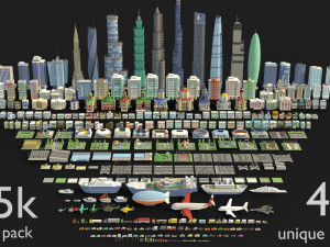
हिंदीdhaka detailed city center 3D Model

-50%
dae fbx max obj stl png
TheFamousRat
Medical Equipment
$2.50
$5.00
WEEKEND SALE ENDS
$
25.00
You have $0.00 Credits. Buy Credits

- Available formats: Autodesk 3DS MAX (.max) 162.02 MBWavefront OBJ (.obj) 98.90 MBStereolithography (.stl) 42.75 MBImage Textures (.png) 43.32 MB
- Polygons:914736
- Vertices:1553163
- Animated:No
- Textured:
- Rigged:No
- Materials:
- Low-poly:No
- Collection:No
- UVW mapping:
- Plugins Used:No
- Print Ready:
- 3D Scan:No
- Adult content:No
- PBR:No
- Geometry:Polygonal
- Unwrapped UVs:Overlapping
- Views:2393
- Date: 2020-05-15
- Item ID:293379
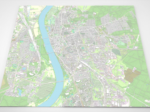
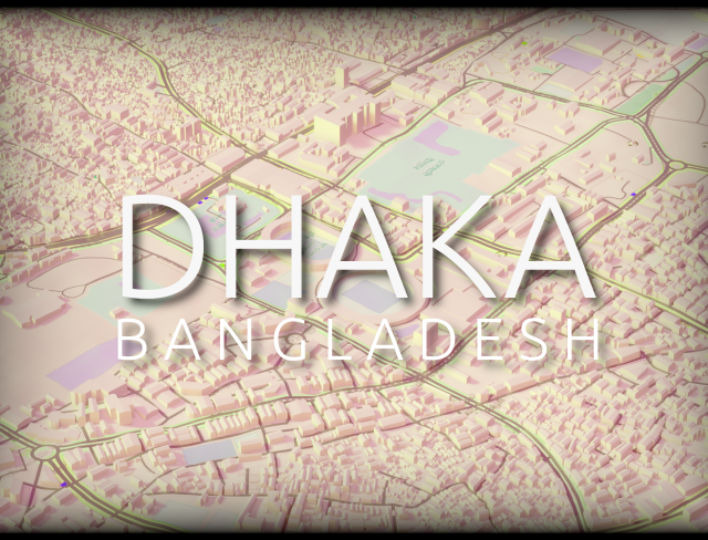
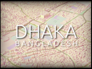
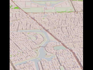
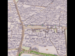
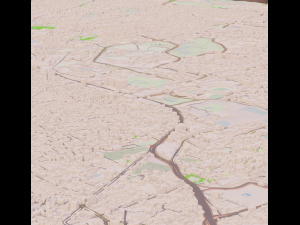
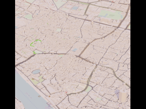
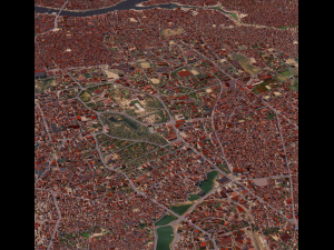
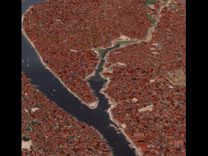
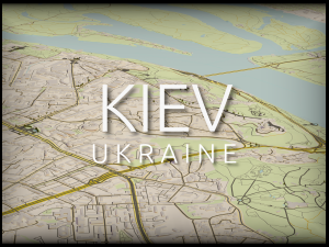
3d rendition of the city of dhaka, capital and most populous city of bangladesh. the city, one of the most densely populated places in the world, has a center rich in cultural, religious and historical landmarks, among which castles, bridges. it is also a bustling and evergro***g city center, and crucial trade hub in the indian subcontinent. this product is a representation of the city center. it covers a zone of around 52km², with all elements being in real-world measurements.
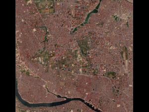
the data has been extracted from open street map. all data provided is thus free of rights and can be used in any project you need. the data has been organized, cleaned, the buildings have been correctly positionned, textured etc. being extracted from osm, the measurements are accurate to the real world. the buildings are varied in shape and size, and are real 3d models that have more details than just being extracted from the satellite images. every texture, whether on the buildings or the ground is also free of right, having been created by me, or having been extracted from open data.
two versions are proposed for each format :
in each version you'll find :
as of now the files are available in obj, stl and gtlf formats. the stl files are 3d-impression ready. new formats can be added if requested.
Read morethe data has been extracted from open street map. all data provided is thus free of rights and can be used in any project you need. the data has been organized, cleaned, the buildings have been correctly positionned, textured etc. being extracted from osm, the measurements are accurate to the real world. the buildings are varied in shape and size, and are real 3d models that have more details than just being extracted from the satellite images. every texture, whether on the buildings or the ground is also free of right, having been created by me, or having been extracted from open data.
two versions are proposed for each format :
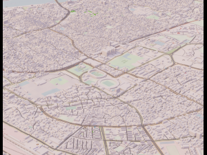
- buildings uv unwrapped to the correct world scale, with basic textures serving as placeholders. the ground has a texture made from highly accurate satellite image
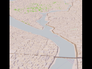
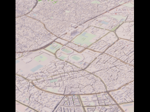
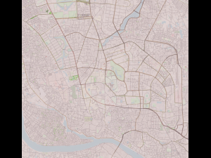
- buildings have a basic clay shader. the ground is a representation of osm data, with streets, water bodies and nature being highlighted.
in each version you'll find :
- all buildings of the zone, accurate to their real-world counterpart
- roads and bridges
- water bodies
- nature objects (trees etc.)
as of now the files are available in obj, stl and gtlf formats. the stl files are 3d-impression ready. new formats can be added if requested.
Need more formats?
If you need a different format, please send us a Conversion Request. We can convert 3D models to: .stl, .c4d, .obj, .fbx, .ma/.mb, .3ds, .3dm, .dxf/.dwg, .max. .blend, .skp, .glb. We do not convert 3d scenes and solid formats such as .step, .iges, .stp, .sldprt etc!
If you need a different format, please send us a Conversion Request. We can convert 3D models to: .stl, .c4d, .obj, .fbx, .ma/.mb, .3ds, .3dm, .dxf/.dwg, .max. .blend, .skp, .glb. We do not convert 3d scenes and solid formats such as .step, .iges, .stp, .sldprt etc!
dhaka detailed city center 3D Model max, obj, stl, png, from TheFamousRat
cartography geography bangladesh bengal map osm accurate real buildings realistic dhaka exterior cityscapeThere are no comments for this item.
-50%
max2019 max2019 blend c4d c4d c4d dae fbx glb
Altruist
Landscapes
$3.95
$7.90
-50%
blend fbx ma max max obj max blend fbx
Andrey314
Landscapes
$34.50
$69.00