English
 Español
 Deutsch
 日本語
日本語 Polska
 Français
 中國
中國 한국의
한국의 Українська
 Italiano
 Nederlands
 Türkçe
 Português
 Bahasa Indonesia
 Русский
 हिंदी
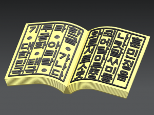
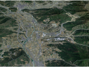
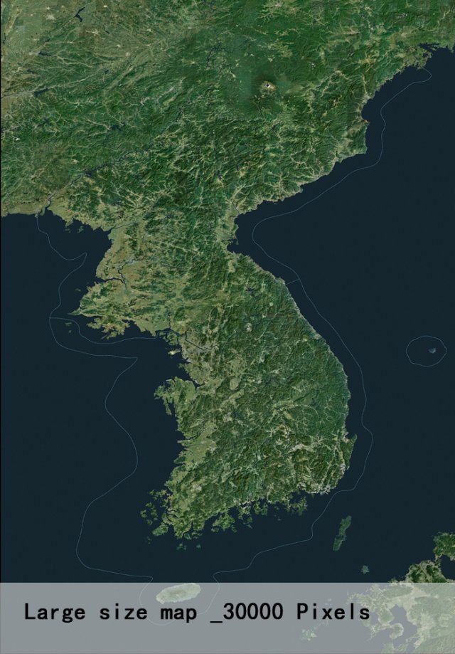
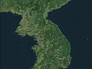
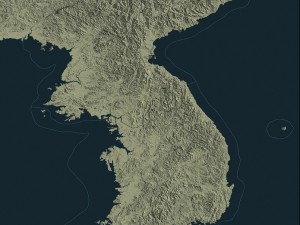
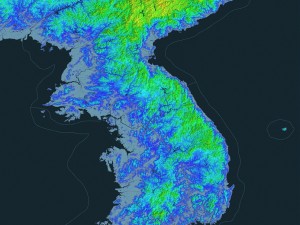
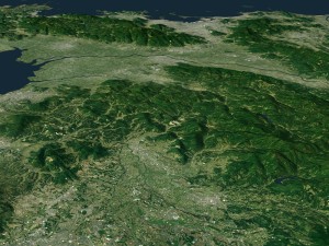
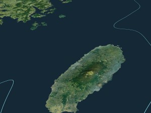
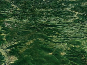
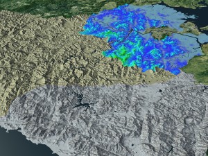
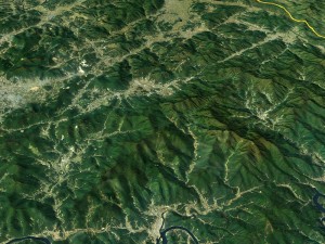
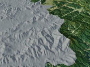
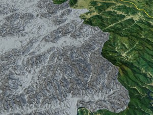
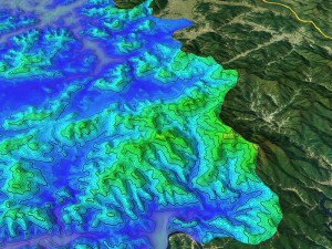
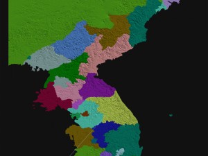
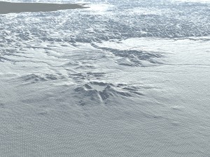
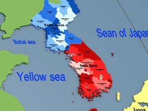
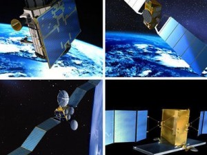
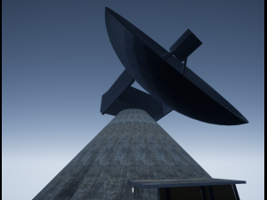
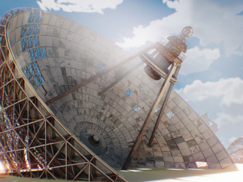
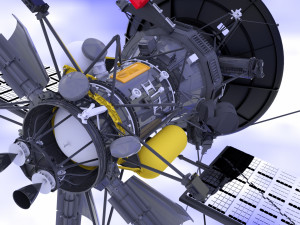
हिंदीkorean peninsula satellite map 3D Model

BLACK FRIDAY
BIGGEST SALE 70% OFF
$
49.50 USD
- Request product support by the author

- Available formats:
- Item ID:150848
- Date: 2017-06-01
- Polygons:4836681
- Vertices:9443826
- Animated:No
- Textured:
- Rigged:No
- Materials:
- Low-poly:No
- Collection:No
- UVW mapping:No
- Plugins Used:No
- Print Ready:No
- 3D Scan:No
- Adult content:No
- Geometry:Polygonal
- Unwrapped UVs:Unknown
- Views:5880
Description
use 3dmax2014 production.thank you for coming! Print Ready: No
Need more formats?
If you need a different format, please send us a Conversion Request. We can convert 3D models to: .stl, .c4d, .obj, .fbx, .ma/.mb, .3ds, .3dm, .dxf/.dwg, .max. .blend, .skp, .glb. Free Format ConversionWe do not convert 3d scenes and solid formats such as .step, .iges, .stp, .sldprt etc!
Usage Information
korean peninsula satellite map - You can use this royalty-free 3D model for both personal and commercial purposes in accordance with the Basic or Extended License.The Basic License covers most standard use cases, including digital advertisements, design and visualization projects, business social media accounts, native apps, web apps, video games, and physical or digital end products (both free and sold).
The Extended License includes all rights granted under the Basic License, with no usage limitations, and allows the 3D model to be used in unlimited commercial projects under Royalty-Free terms.
Read more
Do you provide Money Back Guarantee?
Yes, we do. If you purchased a product and found some error in the renders or description, we'll try to fix the problem as soon as possible. If we cannot correct the error, we will cancel your order and you will get your money back within 24 hours from downloading the item. Read more conditions hereKeywords
Random Items from the author


There are no comments for this item.

-50%
tga tga tga tga tga tga fbx max ma
boneytoes
Other
$14.49
$28.99