English
 Español
 Deutsch
 日本語
日本語 Polska
 Français
 中國
中國 한국의
한국의 Українська
 Italiano
 Nederlands
 Türkçe
 Português
 Bahasa Indonesia
 Русский
 हिंदी
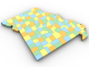
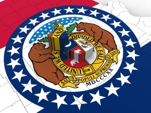
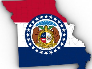
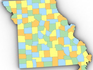
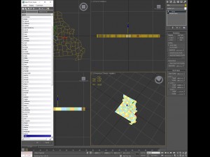
हिंदीMissouri political map 3D Model


- Available formats: 3DS MAX all ver.: 3ds 519.49 kbWavefront OBJ: obj 650.04 kb3DS MAX ver.2010: max2010 359.22 kb
Render: Standard
- Polygons:12,010
- Vertices:6,235
- Animated:No
- Textured:
- Rigged:No
- Materials:
- Low-poly:No
- Collection:No
- UVW mapping:
- Plugins Used:No
- Print Ready:No
- 3D Scan:No
- Adult content:No
- PBR:No
- Geometry:Polygonal
- Unwrapped UVs:Mixed
- Views:2239
- Date: 2016-05-08
- Item ID:120235
- Rating:
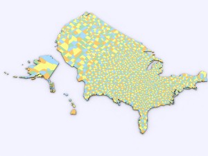
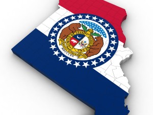
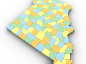
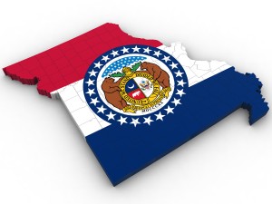
3d model of the political map of missouri. features every county in the state. the modifier stack is uncollapsed allowing for easy change of extrusion settings. Print Ready: No
Read moreNeed more formats?
If you need a different format, please send us a Conversion Request. We can convert 3D models to: .stl, .c4d, .obj, .fbx, .ma/.mb, .3ds, .3dm, .dxf/.dwg, .max. .blend, .skp, .glb. We do not convert 3d scenes and solid formats such as .step, .iges, .stp, .sldprt etc!
If you need a different format, please send us a Conversion Request. We can convert 3D models to: .stl, .c4d, .obj, .fbx, .ma/.mb, .3ds, .3dm, .dxf/.dwg, .max. .blend, .skp, .glb. We do not convert 3d scenes and solid formats such as .step, .iges, .stp, .sldprt etc!
Download Missouri political map 3D Model 3ds obj max2010 From Plutonius
political map missouri state union united states america county municipality city regionThere are no comments for this item.