
 Español
 Deutsch
 日本語
日本語 Polska
 Français
 한국의
한국의 Українська
 Italiano
 Nederlands
 Türkçe
 Português
















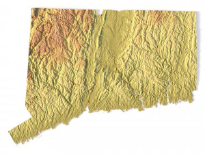
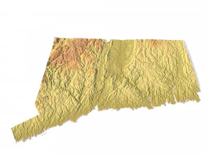
Connecticut Topographic Map STL Model 3D Print Model


- Request product support by the author


- Available formats:
- Item ID:402260
- Date: 2022-06-17
- Collection:No
- Width in millimeters:86
- Height in millimeters:1
- Depth in millimeters:63
- Print Ready:No
- 3D Scan:No
- Adult content:No
- PBR:No
- AI Training:No
- Views:2953
Description
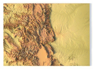
Create Detailed Colorado Terrain Models with This 3D STL
The Colorado Map Topographic STL model provides highly detailed terrain models of the state’s iconic landscape. Ideal for creating raised relief maps from materials like wood, metal, plastic, or concrete, this STL file is perfect for professionals and hobbyists interested in outdoor recreation, geospatial analysis, or landscape visualization. Whether for personal use or professional applications, this model brings the state’s varied landforms to life with precision elevation data.
- File size: 390 MB
- Model size: 86.34 mm x 63.24 mm x 0.995 mm
- Projection: Mercator
- Scaling factor: X — 1; Y — 1; Z — 3
- Polygons: 8 185 972
- Vertices: 4 104 970
- Geometry: Polygonal Tris only
- Base: Closed
Create Detailed Connecticut Terrain Models with This 3D STL
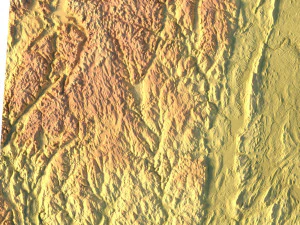
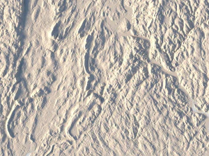
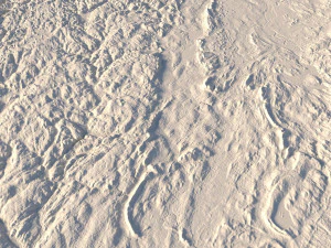
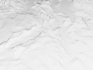
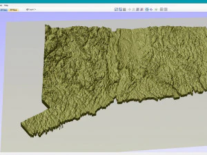
The Connecticut Topographic Map STL model provides precise topography of Connecticut’s landscape. This 3D model is perfect for creating raised relief maps using materials such as wood, metal, plastic, or concrete. Whether for personal projects or professional terrain visualization, this model offers accurate geospatial data for a wide range of applications, including landscape visualization, educational models, and more.
Print Ready: NoNeed more formats?
If you need a different format, please send us a Conversion Request. We can convert 3D models to: .stl, .c4d, .obj, .fbx, .ma/.mb, .3ds, .3dm, .dxf/.dwg, .max. .blend, .skp, .glb. Free Format ConversionWe do not convert 3d scenes and solid formats such as .step, .iges, .stp, .sldprt etc!
Usage Information
Connecticut Topographic Map STL Model - You can use this royalty-free 3D model for both personal and commercial purposes in accordance with the Basic or Extended License.The Basic License covers most standard use cases, including digital advertisements, design and visualization projects, business social media accounts, native apps, web apps, video games, and physical or digital end products (both free and sold).
The Extended License includes all rights granted under the Basic License, with no usage limitations, and allows the 3D model to be used in unlimited commercial projects under Royalty-Free terms.
Read more
Do you provide Money Back Guarantee?
Yes, we do. If you purchased a product and found some error in the renders or description, we'll try to fix the problem as soon as possible. If we cannot correct the error, we will cancel your order and you will get your money back within 24 hours from downloading the item. Read more conditions hereKeywords